Wayside Shrines and Stations of the Cross · Undated
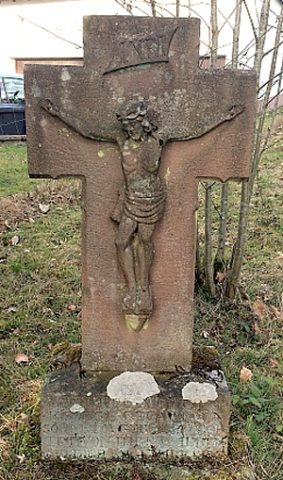
Wegekreuz

Description
This description is only available in German.
Translate with Google opens this page in Google Translate (external service)
Am südlichen Ortseingang. [1]
Classification
- Subject area
- Architectural and Art Monuments
- Category
- Religious Buildings
- Object type
- Wayside Shrines and Stations of the Cross
- Date
- Undatiert
- Period
- Undated
Location
- District
- Eifelkreis Bitburg-Prüm
- Collective municipality
- Bitburger Land
- Municipality
- Malberg
- Locality / location
- Mohrweiler
- Street
- Höhenstraße / Am Waldrand
- Field name
- Wehrbüsch
- Coordinates
- WGS 84: 50.059238, 6.585588 (Position: exact) WGS 84: 50° 03′ 33.3″ N, 6° 35′ 08.1″ E UTM 32 (ETRS89): E 327188 · N 5548010
Sources
Data sources
- [1] GeoPortal des Landes Rheinland-Pfalz. http://www.geoportal.rlp.de/
On the internet
Picture credits
- Picture 1: © Michael Fischer, Malberg/Waxweiler, 2017.
Last edited: 19 Mar 2017 Object ID: 30545
https://kulturdb.de/en/objekt/30545-malberg-wegekreuz
Nearby
The nearest objects
Extraction and Processing of Raw Materials
Steinbruch
 250 m
Wayside Shrines and Stations of the Cross
Wegekreuz
Farmhouses and Farm Buildings
Ehemaliger Hof Burscheid
Extraction and Processing of Raw Materials
Ehemaliger Steinbruch
 470 m
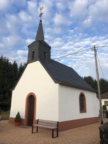
Catholic Churches
Sankt Maria vom guten Rat
 520 m
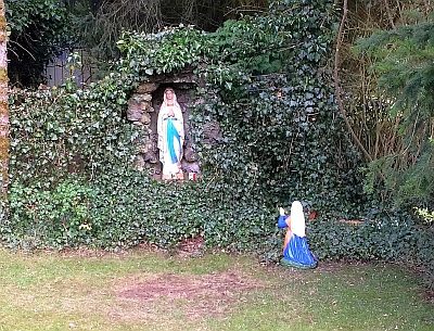
Marian Grottoes
Mariengrotte
 540 m
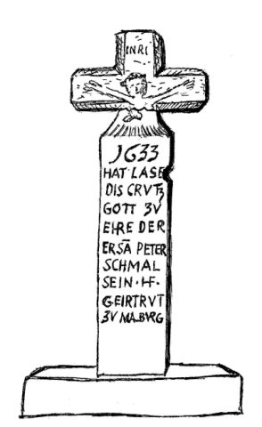
Wayside Shrines and Stations of the Cross
Fließemer Kreuz
Extraction and Processing of Raw Materials