Wayside Shrines and Stations of the Cross · Undated
Wegekreuz am Neidenbach
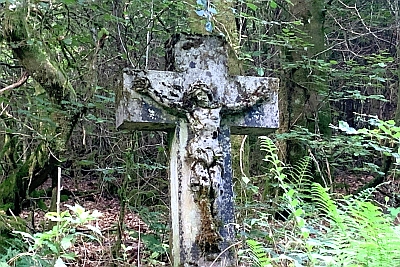
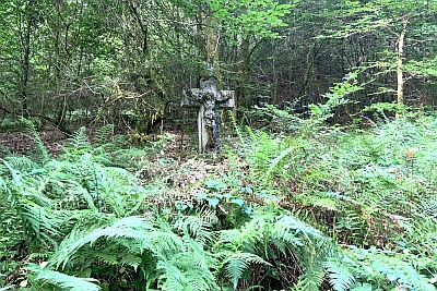
Classification
- Subject area
- Architectural and Art Monuments
- Category
- Religious Buildings
- Object type
- Wayside Shrines and Stations of the Cross
- Date
- Undatiert
- Period
- Undated
Location
- District
- Eifelkreis Bitburg-Prüm
- Collective municipality
- Bitburger Land
- Municipality
- Malberg
- Locality / location
- Mohrweiler
- Field name
- Wehrbüsch
- Coordinates
- WGS 84: 50.057340, 6.574388 (Position: exact) WGS 84: 50° 03′ 26.4″ N, 6° 34′ 27.8″ E UTM 32 (ETRS89): E 326379 · N 5547824
Sources
Data sources
- [1] GeoPortal des Landes Rheinland-Pfalz. http://www.geoportal.rlp.de/
On the internet
Picture credits
Last edited: 17 Aug 2024 Object ID: 30548
https://kulturdb.de/en/objekt/30548-malberg-wegekreuz-am-neidenbach
Nearby
The nearest objects
No picture
420 m
Extraction and Processing of Raw Materials
Ehemaliger Steinbruch
No picture
550 m
Extraction and Processing of Raw Materials
Steinbruch
No picture
670 m
Farmhouses and Farm Buildings
Ehemaliger Hof Burscheid
 690 m
Wayside Shrines and Stations of the Cross
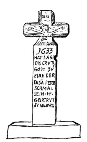
Fließemer Kreuz
 740 m
Wayside Shrines and Stations of the Cross
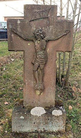
Wegekreuz
No picture
810 m
Viewpoints
Aussichtspunkt
No picture
860 m
Field Names
Bornpesch
No picture
960 m
Field Names