Catering, Inns and Hotels · Undated
Ehemalige Halfenwirtschaft Zum Anker


© GeoBasis-DE / LVermGeoRP, dl-de/by-2-0
There is no picture of this object yet. Do you have a photo that you would like to make available to the Kulturdatenbank? Submit a picture
Description
This description is only available in German.
Translate with Google opens this page in Google Translate (external service)
Heute Haus Josef Christoffel. Halfen war eine Berufsbezeichnung. Das waren seinerzeit die Jungs, die die Boote und Schiffe die Mosel stromaufwärts zogen. Motoren gab´s ja nicht. Entlang der ganzen Mosel gab es einen Weg, den sogenannten Treidel- oder Leinpfad. Da entlang wurden mit Pferde- oder Ochsengespannen und zum Teil auch mit reiner Muskelkraft die Schiffe gezogen.
Classification
- Subject area
- Architectural and Art Monuments
- Category
- Economy, Trade and Transport
- Object type
- Catering, Inns and Hotels
- Date
- Undatiert
- Period
- Undated
Location
- District
- Bernkastel-Wittlich
- Collective municipality
- Bernkastel-Kues
- Municipality
- Ürzig
- Field name
- Ortslage
- Coordinates
- WGS 84: 49.977626, 7.005124 (Position: within the village) WGS 84: 49° 58′ 39.5″ N, 7° 00′ 18.4″ E UTM 32 (ETRS89): E 356972 · N 5538050
Sources
Data sources
- © Simone und Patrick Schenk, Paul Keukert, Ürzig
On the internet
Last edited: 18 Jun 2001 Object ID: 3236
https://kulturdb.de/en/objekt/3236-uerzig-ehemalige-halfenwirtschaft-zum-anker
Nearby
The nearest objects
 less than 10 m
Catering, Inns and Hotels
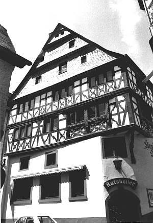
Ratskeller
 less than 10 m
Town Houses and Commercial Buildings
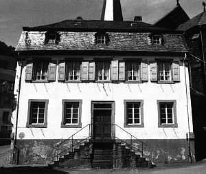
Haus Hans-Leo Christoffel
Fountains and Wells
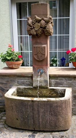
Brunnen vor dem Haus Christoffel
Catering, Inns and Hotels
Vesperstube Erbes
 less than 10 m
Catering, Inns and Hotels
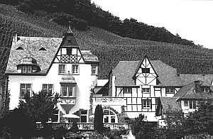
Weinhaus Schild
Town Houses and Commercial Buildings
Anwesen Ernst-Peter Christoffel
 less than 10 m
Town Houses and Commercial Buildings
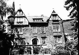
Haus Christoffel-Berres
 less than 10 m
Fountains and Wells