Settlements · Celtic / Roman Period
Römische Siedlung


© GeoBasis-DE / LVermGeoRP, dl-de/by-2-0
There is no picture of this object yet. Do you have a photo that you would like to make available to the Kulturdatenbank? Submit a picture
Classification
- Subject area
- Archaeological Monuments
- Category
- Settlements
- Object type
- Settlements
- Date
- Circa 500 vor Chr. bis circa 500 nach Chr.
- Period
- Celtic / Roman Period
Location
- District
- Trier-Saarburg
- Collective municipality
- Ruwer
- Municipality
- Osburg
- Field name
- Vorm Jungenwald
- Coordinates
- WGS 84: 49.708887, 6.775281 (Position: presumed) WGS 84: 49° 42′ 32.0″ N, 6° 46′ 31.0″ E UTM 32 (ETRS89): E 339607 · N 5508640
Sources
Data sources
- [1] Hans Nortmann: Altstraße - Römerstraße? In: Funde und Ausgrabungen im Bezirk Trier, 44-2012. ISSN 0723-8630. Rheinisches Landesmuseum Trier. www.landesmuseum-trier.de
On the internet
Last edited: 5 Jul 2020 Object ID: 32414
https://kulturdb.de/en/objekt/32414-osburg-roemische-siedlung
Nearby
The nearest objects
No picture
540 m
Field Names
Himmeltriesch
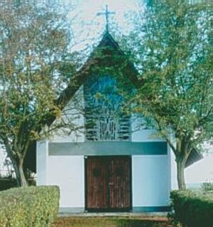 600 m
Chapels
Kapelle
No picture
680 m
Field Names
Die Zwergfelder
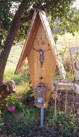 680 m
Wayside Shrines and Stations of the Cross
Wegekreuz
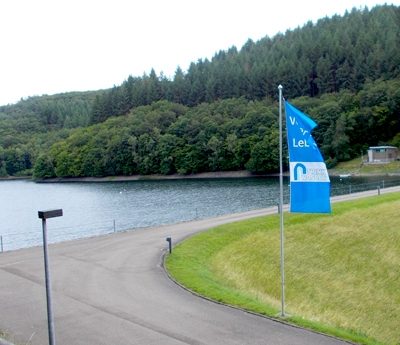 750 m
Viewpoints
Aussichtspunkt Riveris-Talsperre (2)
No picture
860 m
Field Names
Beim Kappeswieschen
No picture
1.0 km
Viewpoints
Aussichtspunkt
No picture
1.1 km
Field Names