Wayside Shrines and Stations of the Cross · 20th Century
Gedenkkreuz


Description
This description is only available in German.
Translate with Google opens this page in Google Translate (external service)
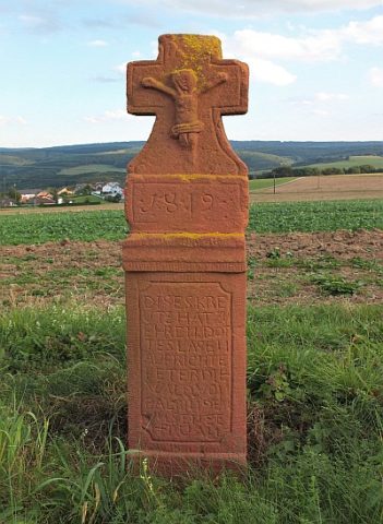
Wegkreuz zum Gedenken an die Kriegsopfer bei Baldringen. [1]
Classification
- Subject area
- Architectural and Art Monuments
- Category
- Religious Buildings
- Object type
- Wayside Shrines and Stations of the Cross
- Date
- 1947
- Period
- 20th Century
Location
- District
- Trier-Saarburg
- Collective municipality
- Saarburg-Kell
- Municipality
- Baldringen
- Field name
- Holey
- Coordinates
- WGS 84: 49.613879, 6.679777 (Position: exact) WGS 84: 49° 36′ 50.0″ N, 6° 40′ 47.2″ E UTM 32 (ETRS89): E 332396 · N 5498287
Sources
Data sources
- [1] Dr. Peter Stolz, Trier, 2022.
On the internet
de.wikipedia.org/wiki/Baldringen
Picture credits
Last edited: 2 Mar 2024 Object ID: 32436
https://kulturdb.de/en/objekt/32436-baldringen-gedenkkreuz
Nearby
The nearest objects
 130 m
Wayside Shrines and Stations of the Cross
Schaftkreuz aus rotem Sandstein
Catholic Churches
Sankt Nikolaus
 340 m
Coats of Arms
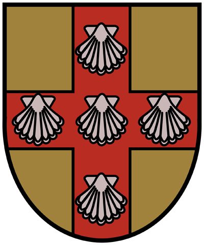
Wappen der Gemeinde Baldringen
 340 m
Place Names / Local History
Ortsgeschichte Baldringen
Field Names
Ober der Lehmkaul
Field Names
Lehmkaul
Wayside Shrines and Stations of the Cross
Wegekreuz
Settlements