Wayside Shrines and Stations of the Cross · 20th Century
Straßenkreuz


Description
This description is only available in German.
Translate with Google opens this page in Google Translate (external service)
Kreisstraße 9 Baustertgraben aus Richtung Ortsmitte. Zwischen dem Ortsende der Feilsdorfer Straße und dem Ortsteil Berghausen befindet sich ein moderneres Straßenkreuz aus dem Jahre 1964. [1]
Classification
- Subject area
- Architectural and Art Monuments
- Category
- Religious Buildings
- Object type
- Wayside Shrines and Stations of the Cross
- Date
- 1964
- Period
- 20th Century
Location
- District
- Eifelkreis Bitburg-Prüm
- Collective municipality
- Bitburger Land
- Municipality
- Baustert
- Street
- Baustertgraben
- Field name
- Auf der Altscheuer
- Coordinates
- WGS 84: 49.982190, 6.393410 (Position: exact) WGS 84: 49° 58′ 55.9″ N, 6° 23′ 36.3″ E UTM 32 (ETRS89): E 313135 · N 5539907
Sources
Data sources
- [1] Rudolf Schaal: Wegekreuze / Straßenkreuze u.a. Kreuze in und rund um Baustert. In: https://www.baustert.de/gewerbe-tourismus/sehenswuerdigkeiten/87-we…
On the internet
Picture credits
Last edited: 9 Apr 2024 Object ID: 32440
https://kulturdb.de/en/objekt/32440-baustert-strassenkreuz
Nearby
The nearest objects
Field Names
Bei der Wolfsgracht
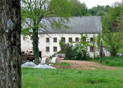 320 m
Farmhouses and Farm Buildings
Winkelhof
Field Names
Mühlenpesch
Farmhouses and Farm Buildings
Portal
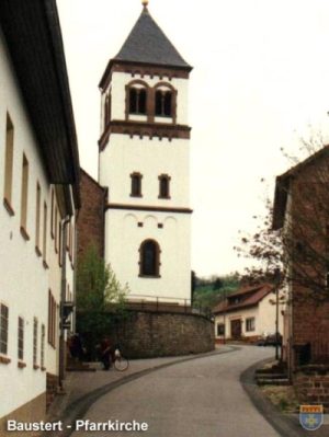 450 m
Catholic Churches
Sankt Maximin (2)
450 m
Catholic Churches
Sankt Maximin (1)
 460 m
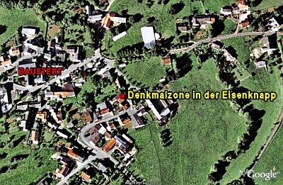
Historic Townscapes
Denkmalzone in der Eisenknapp
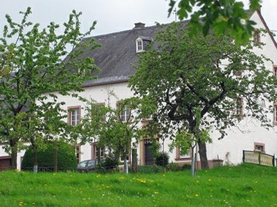 460 m
Farmhouses and Farm Buildings