Wayside Shrines and Stations of the Cross · Renaissance
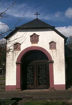
Wegekreuz


Description
This description is only available in German.
Translate with Google opens this page in Google Translate (external service)
Classification
- Subject area
- Architectural and Art Monuments
- Category
- Religious Buildings
- Object type
- Wayside Shrines and Stations of the Cross
- Date
- 1685
- Period
- Renaissance
Location
- District
- Eifelkreis Bitburg-Prüm
- Collective municipality
- Bitburger Land
- Municipality
- Dudeldorf
- Street
- Gegenüber Brückenstraße 3
- Field name
- Der Paelert
- Coordinates
- WGS 84: 49.978220, 6.640310 (Position: exact) WGS 84: 49° 58′ 41.6″ N, 6° 38′ 25.1″ E UTM 32 (ETRS89): E 330820 · N 5538878
Sources
Data sources
- [1] Liste der Kulturdenkmäler in Dudeldorf, Stand: 2. März 2018 - (https://de.wikipedia.org/wiki/Liste_der_Kulturdenkm%C3%A4ler_in_Dud…)
- [2] Michael Grün, Trier, 2020.
On the internet
Picture credits
Last edited: 3 Jun 2020 Object ID: 32616
https://kulturdb.de/en/objekt/32616-dudeldorf-wegekreuz
Nearby
The nearest objects
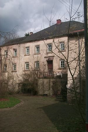 100 m
Mills
Ehemalige Ordorfer Mühle
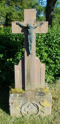 160 m
Wayside Shrines and Stations of the Cross
Wegekreuz
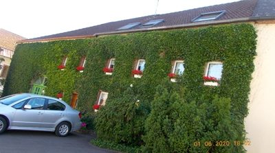 190 m
Farmhouses and Farm Buildings
Streckhof
No picture
200 m
Farmhouses and Farm Buildings
Großer Winkelhof
No picture
200 m
Farmhouses and Farm Buildings
Kleinbäuerliches Haus
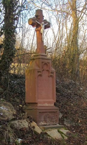 240 m
Wayside Shrines and Stations of the Cross
Pfeilerschaftkreuz
 240 m
Chapels
Kreuzkapelle auf dem alten Friedhof
No picture
250 m
Field Names