Wayside Shrines and Stations of the Cross · Undated
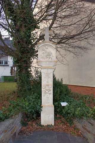
Wegekreuz

Classification
- Subject area
- Architectural and Art Monuments
- Category
- Religious Buildings
- Object type
- Wayside Shrines and Stations of the Cross
- Date
- Undatiert
- Period
- Undated
Location
- District
- Trier-Saarburg
- Collective municipality
- Schweich an der römischen Weinstraße
- Municipality
- Leiwen
- Street
- Ecke Gerbergasse / Euchariusstraße
- Field name
- Ortslage
- Coordinates
- WGS 84: 49.823757, 6.880786 (Position: exact) WGS 84: 49° 49′ 25.5″ N, 6° 52′ 50.8″ E UTM 32 (ETRS89): E 347573 · N 5521190
Sources
Data sources
- [1] GeoPortal des Landes Rheinland-Pfalz. http://www.geoportal.rlp.de/
On the internet
Picture credits
- Picture 1: © Manfred Knapp, Nohfelden, 2013.
Last edited: 11 Feb 2014 Object ID: 32641
https://kulturdb.de/en/objekt/32641-leiwen-wegekreuz
Nearby
The nearest objects
 110 m
Market Towns
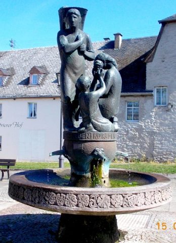
Marktort Leiwen
 110 m
Farmhouses and Farm Buildings
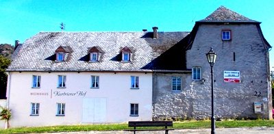
Kurtrierer Hof - ehemaliges Zehnthaus
No picture
110 m
Mills
Ehemalige Mühle
No picture
120 m
Wayside Shrines and Stations of the Cross
Wegekreuz
 130 m
Farmhouses and Farm Buildings
Stattliches Anwesen
 140 m
Museums
Heimat- und Weinmuseum
 190 m
Settlements
Römische Siedlung
 190 m
Wayside Shrines and Stations of the Cross