Wayside Shrines and Stations of the Cross · 20th Century
Wegekreuz


Description
This description is only available in German.
Translate with Google opens this page in Google Translate (external service)
Classification
- Subject area
- Architectural and Art Monuments
- Category
- Religious Buildings
- Object type
- Wayside Shrines and Stations of the Cross
- Date
- 1994
- Period
- 20th Century
Location
- District
- Trier-Saarburg
- Collective municipality
- Schweich an der römischen Weinstraße
- Municipality
- Detzem
- Field name
- Aufm Alsberg
- Coordinates
- WGS 84: 49.806489, 6.858293 (Position: exact) WGS 84: 49° 48′ 23.4″ N, 6° 51′ 29.9″ E UTM 32 (ETRS89): E 345901 · N 5519316
Sources
Data sources
- [1] GeoPortal des Landes Rheinland-Pfalz. Http://www.geoportal.rlp.de/
- [2] Michael Grün, Trier, 2022.
On the internet
Picture credits
Last edited: 20 Sep 2022 Object ID: 32646
https://kulturdb.de/en/objekt/32646-detzem-wegekreuz
Nearby
The nearest objects
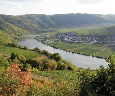 less than 10 m
Viewpoints
Aussichtspunkt
No picture
210 m
Vineyard Sites
Im jungen Weinberg
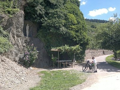 650 m
Marian Grottoes
Mariengrotte
No picture
750 m
Field Names
Hinterm Werth
No picture
800 m
Field Names
Im Reuschelpesch
 850 m
Works of Art
Muttergottesstatue
No picture
940 m
Field Names
In der Wolfskaul
No picture
970 m
Deserted Settlements