Place Names / Local History · Gothic
Ortsname

Description
This description is only available in German.
Translate with Google opens this page in Google Translate (external service)
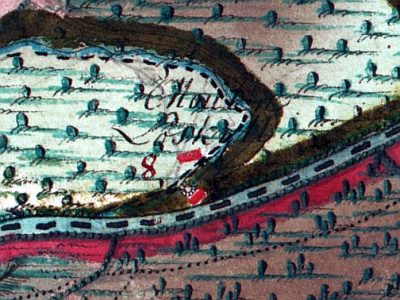
1463 genannt Loiskele.
Classification
- Subject area
- History
- Category
- Place Names / Local History
- Date
- 1463
- Period
- Gothic
Location
- District
- Eifelkreis Bitburg-Prüm
- Collective municipality
- Bitburger Land
- Municipality
- Sülm
- Field name
- Ortslage
- Coordinates
- WGS 84: 49.922291, 6.616770 (Position: within the village) WGS 84: 49° 55′ 20.2″ N, 6° 37′ 00.4″ E UTM 32 (ETRS89): E 328934 · N 5532714
Sources
Data sources
- Heimatkundlicher Arbeitskreis in der Verbandsgemeinde Speicher in "Et Bledchen" zwischen Kyll und Römermauer. Wochenzeitung.
On the internet
bitburgerland.de/og-suelm/ortsgemeinde-suelm
Picture credits
- Picture 1: http://www.bitburg-web.de/
Last edited: 1 Apr 2004 Object ID: 3266
https://kulturdb.de/en/objekt/3266-suelm-ortsname
Nearby
The nearest objects
 less than 10 m
Coats of Arms
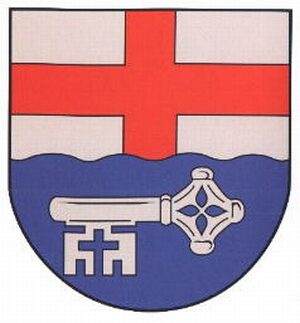
Wappen der Gemeinde Sülm
 30 m
Mills
Looskyllermühle im Kylltal
 50 m
Chapels
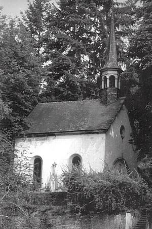
Hofkapelle der Looskyller Mühle
 60 m
Groups of Trees
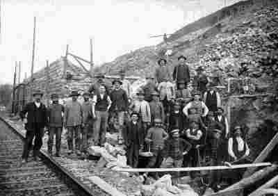
Baumgruppe an der Looskyllermühle
 130 m
Railways
Looskyller Tunnel - Südportal
No picture
160 m
Extraction and Processing of Raw Materials
Ehemaliger Steinbruch
 180 m
Road Transport
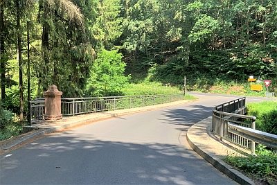
Brücke über den Keutelbach
 180 m
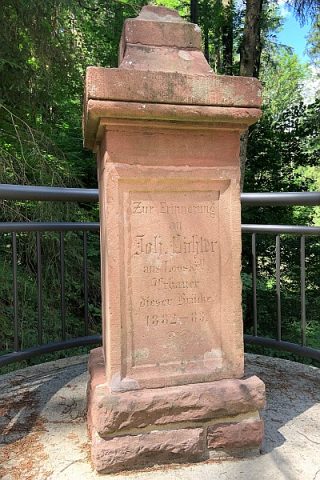
Monuments