Chartered Towns · Historicism / Art Nouveau
Stadtrechte Trarbach


© GeoBasis-DE / LVermGeoRP, dl-de/by-2-0
There is no picture of this object yet. Do you have a photo that you would like to make available to the Kulturdatenbank? Submit a picture
Description
This description is only available in German.
Translate with Google opens this page in Google Translate (external service)
Trarbach: seit 1856 Stadt, vereinigte sich 1904 mit der Gemeinde Traben zur neuen Stadt Traben-Trarbach.
Classification
- Subject area
- History
- Category
- Chartered Towns
- Date
- 1856
Location
- District
- Bernkastel-Wittlich
- Town
- Traben-Trarbach
- Locality / location
- Trarbach
- Field name
- Ortslage
- Coordinates
- WGS 84: 49.948110, 7.110910 (Position: within the village) WGS 84: 49° 56′ 53.2″ N, 7° 06′ 39.3″ E UTM 32 (ETRS89): E 364473 · N 5534572
Sources
Data sources
On the internet
Last edited: 15 Dec 2013 Object ID: 32695
https://kulturdb.de/en/objekt/32695-traben-trarbach-stadtrechte-trarbach
Nearby
The nearest objects
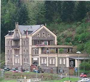 40 m
Railways
Weingut Louis Klein - ehemaliger Gleisanschluss
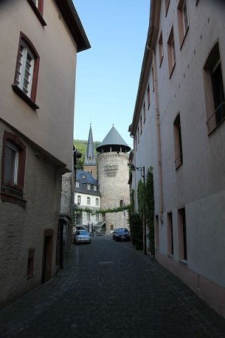 50 m
Town Fortifications
Sogenannter Weisser Turm
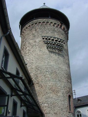 60 m
Town Fortifications
Stadtturm
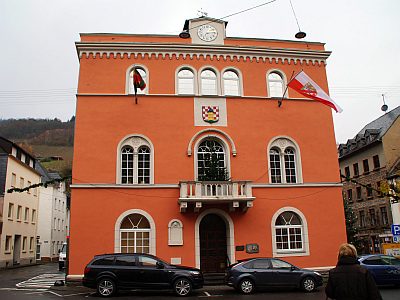 70 m
Town Halls
Rathaus
 70 m
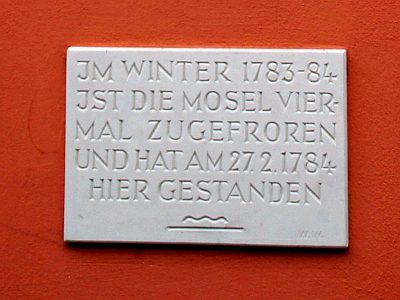
Flood Marks
Hochwassermarke am Rathaus
 70 m
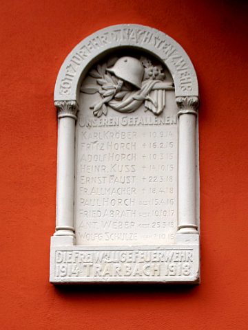
War Memorials
Gefallenentafel am Rathaus
 80 m
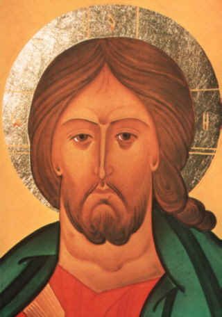
Museums
Haus der Ikonen
 80 m
Catholic Churches