Field Names · Gothic
Unterm Königsberg hinter Königsgraben


© GeoBasis-DE / LVermGeoRP, dl-de/by-2-0
There is no picture of this object yet. Do you have a photo that you would like to make available to the Kulturdatenbank? Submit a picture
Description
This description is only available in German.
Translate with Google opens this page in Google Translate (external service)
Ähnlich wohl lateinisch *CASTANETUM,
Kastanienwald, das moselromanische *casteneit, *ca(s)neit wurde: in Klüsserath nebeneinander
anno 1295 Kanit und Kanich, heute Königsberg. [1]
Graben – Geländeeinschnitt, Tal oder Senke. Auch Gräben zur Bewässerung von Wiesen oder der Wasserversorgung der Mühlen. [2]
Classification
- Subject area
- History
- Category
- Field Names
- Date
- 1295
- Period
- Gothic
Location
- District
- Trier-Saarburg
- Collective municipality
- Schweich an der römischen Weinstraße
- Municipality
- Klüsserath
- Field name
- Unterm Königsberg hinter Königsgraben
- Coordinates
- WGS 84: 49.848480, 6.843500 (Position: exact) WGS 84: 49° 50′ 54.5″ N, 6° 50′ 36.6″ E UTM 32 (ETRS89): E 344971 · N 5524015
Sources
Data sources
- [1] Wolfgang Jungandreas: Die Moselromanen. Die romanische Moselenklave während der fränkischen Landnahme. In: Zeitschrift für romanische Philologie. Band 87, Heft 1-2 (November 2009), Herausgegeben von Günter Holtus und Wolfgang Schweickard.
- [2] Redaktion
On the internet
Last edited: 27 Jan 2020 Object ID: 32703
https://kulturdb.de/en/objekt/32703-kluesserath-unterm-koenigsberg-hinter-koenigsgraben
Nearby
The nearest objects
Field Names
Unterm Königsberg im Ort
Field Names
Königsberg auf den Fellen
Field Names
Königsberg im Ort
Field Names
Königsberg zwischen den Wegen
Field Names
Hinter dem Königsberg
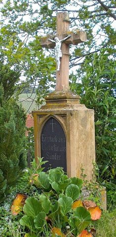 340 m
Wayside Shrines and Stations of the Cross
Wegekreuz
Field Names
Im Quinschelerberg
Field Names