Place Names / Local History · Celtic / Roman Period
Ortsname / Ortsgeschichte


© GeoBasis-DE / LVermGeoRP, dl-de/by-2-0
There is no picture of this object yet. Do you have a photo that you would like to make available to the Kulturdatenbank? Submit a picture
Description
This description is only available in German.
Translate with Google opens this page in Google Translate (external service)
Auf keltisch-römischen Ursprung des Ortes deutet die Ortsnamensendung hin. In der Feudalzeit gehörte Sevenig zur Herrschaft Dasburg in der Grafschaft Vianden. In preußischer Zeit gehörte Sevenig zur Amtsverwaltung Daleiden. Im Zuge der Kampfhandlungen am Ende des Zweiten Weltkrieges wurde der Ort schwer zerstört.
Classification
- Subject area
- History
- Category
- Place Names / Local History
- Date
- Circa 500 vor Chr. bis circa 500 nach Chr.
- Period
- Celtic / Roman Period
Location
- District
- Eifelkreis Bitburg-Prüm
- Collective municipality
- Arzfeld
- Municipality
- Sevenig (Our)
- Locality / location
- Sevenig
- Field name
- Ortslage
- Coordinates
- WGS 84: 50.128925, 6.163461 (Position: within the village) WGS 84: 50° 07′ 44.1″ N, 6° 09′ 48.5″ E UTM 32 (ETRS89): E 297272 · N 5556818
Sources
Data sources
- © Marzellus Boos http://www.eifeltour.de/
On the internet
Last edited: 21 Jun 2001 Object ID: 3275
https://kulturdb.de/en/objekt/3275-sevenig-our-ortsname-ortsgeschichte
Nearby
The nearest objects
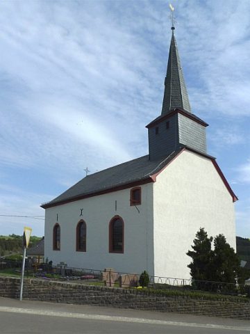 170 m
Catholic Churches
Sankt Johannes der Täufer
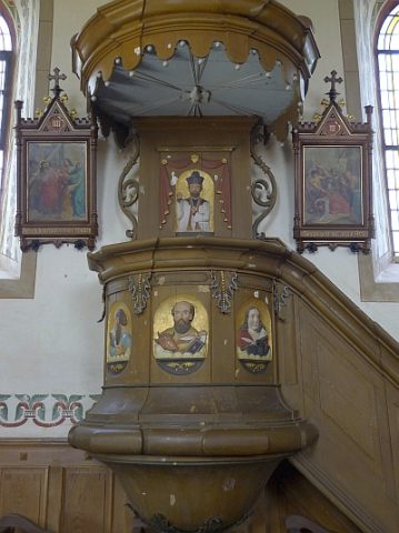 170 m
Catholic Churches
Sankt Johannes der Täufer - Kanzel
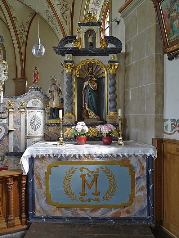 170 m
Catholic Churches
Sankt Johannes der Täufer - Ausstattung (1)
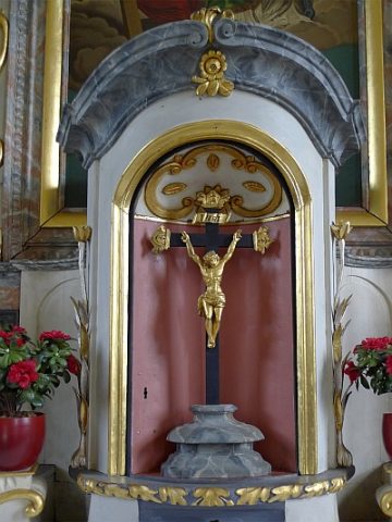 170 m
Catholic Churches
Sankt Johannes der Täufer - Ausstattung (2)
Extraction and Processing of Raw Materials
Backhaus und Schmiede
Find Sites
Römische Fundstelle
Catholic Churches
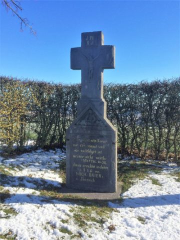
Wegekreuz
 430 m
Wayside Shrines and Stations of the Cross