Field Names · Renaissance
Aufm Kamain


© GeoBasis-DE / LVermGeoRP, dl-de/by-2-0
There is no picture of this object yet. Do you have a photo that you would like to make available to the Kulturdatenbank? Submit a picture
Description
This description is only available in German.
Translate with Google opens this page in Google Translate (external service)
Lateinisch CUMINUM: anno 1288 Flurname Comine in Fell, anno 1695 in der Cameinen, heute Comain, Flurname in Monzel Aufm Kamain[...]
Classification
- Subject area
- History
- Category
- Field Names
- Date
- 1695
- Period
- Renaissance
Location
- District
- Bernkastel-Wittlich
- Collective municipality
- Wittlich-Land
- Municipality
- Osann-Monzel
- Locality / location
- Monzel
- Field name
- Aufm Kamain
- Coordinates
- WGS 84: 49.912500, 6.969430 (Position: exact) WGS 84: 49° 54′ 45.0″ N, 6° 58′ 09.9″ E UTM 32 (ETRS89): E 354216 · N 5530879
Sources
Data sources
- Wolfgang Jungandreas: Die Moselromanen. Die romanische Moselenklave während der fränkischen Landnahme. In: Zeitschrift für romanische Philologie. Band 87, Heft 1-2 (November 2009), Herausgegeben von Günter Holtus und Wolfgang Schweickard.
On the internet
Last edited: 27 Dec 2013 Object ID: 32773
https://kulturdb.de/en/objekt/32773-osann-monzel-aufm-kamain
Nearby
The nearest objects
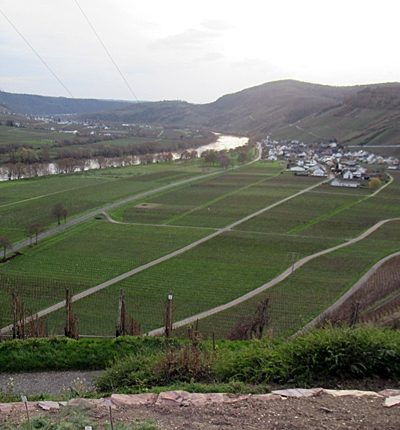 300 m
Viewpoints
Aussichtspunkt
Vineyard Sites
Kätzchen
Field Names
Unterm Zwergstück
Vineyard Sites
Paulinsberg
Vineyard Sites
Paulinsberg
Vineyard Sites
Im Braunen Pichter
Field Names
Die oberste Breitwies
Washing Places