Wayside Shrines and Stations of the Cross · Undated
Wegekreuz


Classification
- Subject area
- Architectural and Art Monuments
- Category
- Religious Buildings
- Object type
- Wayside Shrines and Stations of the Cross
- Date
- Undatiert
- Period
- Undated
Location
- District
- Eifelkreis Bitburg-Prüm
- Collective municipality
- Arzfeld
- Municipality
- Plütscheid
- Field name
- Am Wierbüsch
- Coordinates
- WGS 84: 50.089550, 6.430350 (Position: exact) WGS 84: 50° 05′ 22.4″ N, 6° 25′ 49.3″ E UTM 32 (ETRS89): E 316194 · N 5551750
Sources
Data sources
- [1] GeoPortal des Landes Rheinland-Pfalz. http://www.geoportal.rlp.de/
On the internet
Picture credits
Last edited: 7 Jul 2015 Object ID: 32782
https://kulturdb.de/en/objekt/32782-pluetscheid-wegekreuz
Nearby
The nearest objects
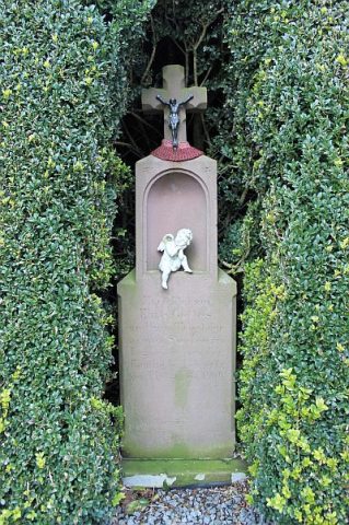 120 m
Wayside Shrines and Stations of the Cross
Wegekreuz
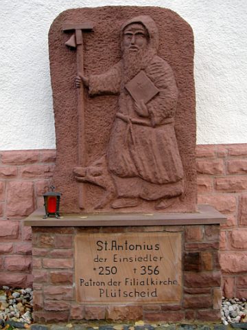 190 m
Works of Art
Sankt Antonius der Einsiedler - Statue
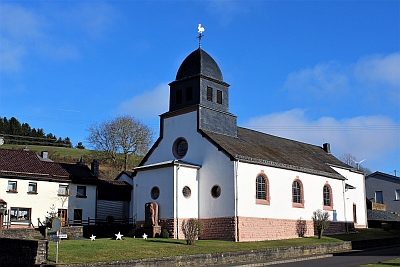 190 m
Catholic Churches
Sankt Antonius der Einsiedler
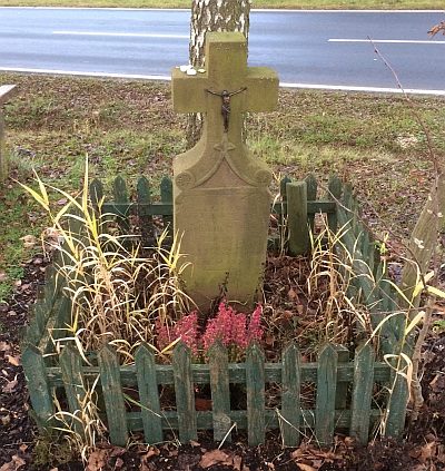 260 m
Wayside Shrines and Stations of the Cross
Wegekreuz
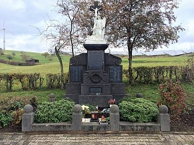 260 m
War Memorials
Kriegerdenkmal
No picture
330 m
Farmhouses and Farm Buildings
Hakenhofanlage
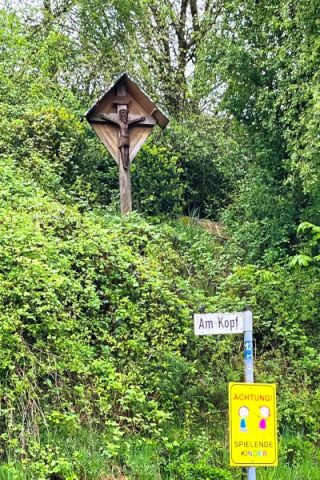 330 m
Wayside Shrines and Stations of the Cross
Wegekreuz
No picture
370 m
Field Names