Wayside Shrines and Stations of the Cross · Baroque / Rococo
Wegekreuz
- Listed monument


Description
This description is only available in German.
Translate with Google opens this page in Google Translate (external service)
Ein mehrfach gestufter Sockel aus dem 19. Jahrhundert trägt ein wiederverwendetes barockes Grabkreuz. [1]
Classification
- Subject area
- Architectural and Art Monuments
- Category
- Religious Buildings
- Object type
- Wayside Shrines and Stations of the Cross
- Date
- Circa 1700 bis circa 1780
- Period
- Baroque / Rococo
Location
- District
- Eifelkreis Bitburg-Prüm
- Collective municipality
- Südeifel
- Municipality
- Ernzen
- Street
- Ecke Flurstraße / Theisstraße
- Field name
- Ortslage
- Coordinates
- WGS 84: 49.840190, 6.422130 (Position: exact) WGS 84: 49° 50′ 24.7″ N, 6° 25′ 19.7″ E UTM 32 (ETRS89): E 314650 · N 5524050
Sources
Data sources
- [1] Denkmaltopographie Bundesrepublik Deutschland, Kulturdenkmäler in Rheinland-Pfalz, Kreis Bitburg-Prüm, 9.2 Wernersche Verlagsgesellschaft 1994. ISBN 3-88462-132-7
On the internet
Picture credits
Last edited: 13 Apr 2020 Object ID: 32811
https://kulturdb.de/en/objekt/32811-ernzen-wegekreuz
Nearby
The nearest objects
No picture
100 m
Farmhouses and Farm Buildings
Bauernhaus
No picture
150 m
Field Names
In der Bornwies
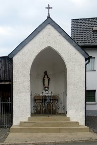 170 m
Chapels
Kapelle
No picture
220 m
Farmhouses and Farm Buildings
Ehemaliger Hof der Abtei Echternach
No picture
250 m
Field Names
Auf dem Bornberg
No picture
260 m
Temples, Sanctuaries
Heiligtum
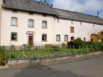 290 m
Farmhouses and Farm Buildings
Streckhof
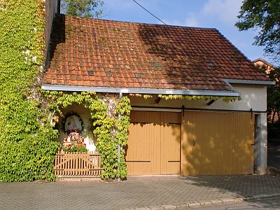 320 m
Chapels