Wayside Shrines and Stations of the Cross · Undated
Wegekreuz

Classification
- Subject area
- Architectural and Art Monuments
- Category
- Religious Buildings
- Object type
- Wayside Shrines and Stations of the Cross
- Date
- Undatiert
- Period
- Undated
Location
- District
- Eifelkreis Bitburg-Prüm
- Collective municipality
- Prüm
- Municipality
- Weinsheim
- Street
- Dausfelder Straße
- Field name
- Auf Maien
- Coordinates
- WGS 84: 50.224910, 6.466120 (Position: exact) WGS 84: 50° 13′ 29.7″ N, 6° 27′ 58.0″ E UTM 32 (ETRS89): E 319263 · N 5566710
Sources
Data sources
- [1] Michael Fischer, Malberg/Waxweiler, 2020.
On the internet
Picture credits
- Picture 1: © Michael Fischer, Malberg/Waxweiler, 2020.
Last edited: 1 Sep 2020 Object ID: 32817
https://kulturdb.de/en/objekt/32817-weinsheim-wegekreuz
Nearby
The nearest objects
No picture
290 m
Field Names
Unter der Kirche
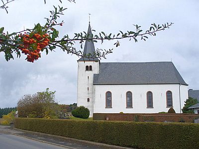 460 m
Catholic Churches
Sankt Willibrord
No picture
510 m
Field Names
Im Dellgen
No picture
550 m
Field Names
Im Froschborn
No picture
560 m
Field Names
Auf der Loh
No picture
620 m
Field Names
Auf der Acht
No picture
650 m
Field Names
Im Kalkofen
No picture
770 m
Wayside Shrines and Stations of the Cross