Wayside Shrines and Stations of the Cross · Undated
Wegekreuz
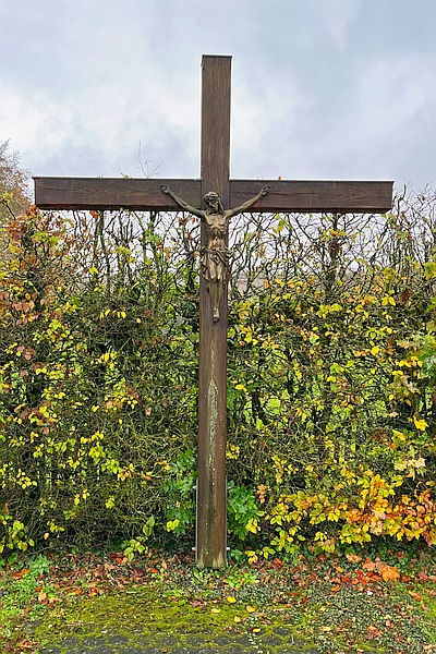
Classification
- Subject area
- Architectural and Art Monuments
- Category
- Religious Buildings
- Object type
- Wayside Shrines and Stations of the Cross
- Date
- Undatiert
- Period
- Undated
Location
- District
- Eifelkreis Bitburg-Prüm
- Collective municipality
- Prüm
- Municipality
- Hersdorf
- Locality / location
- Niederhersdorf
- Field name
- Im Herestal
- Coordinates
- WGS 84: 50.170200, 6.500340 (Position: exact) WGS 84: 50° 10′ 12.7″ N, 6° 30′ 01.2″ E UTM 32 (ETRS89): E 321500 · N 5560546
Sources
Data sources
- [1] Michael Fischer, Waxweiler, 2025.
On the internet
Picture credits
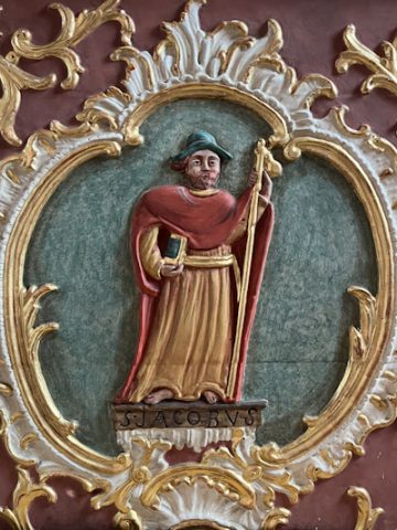
- Picture 1: © Michael Fischer, Waxweiler, 2025.
Last edited: 10 Dec 2025 Object ID: 32825
https://kulturdb.de/en/objekt/32825-hersdorf-wegekreuz
Nearby
The nearest objects
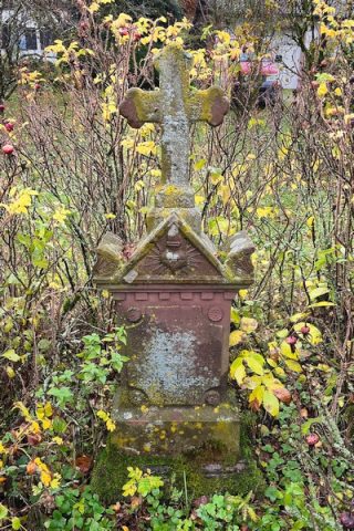 140 m
Wayside Shrines and Stations of the Cross
Wegekreuz
No picture
210 m
Wayside Shrines and Stations of the Cross
Wegekreuz
No picture
260 m
Lime Kilns
Ehemaliger Kalkofen
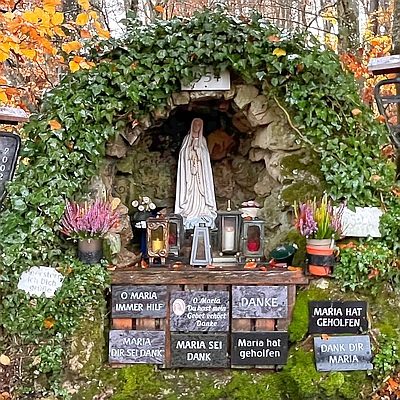 430 m
Marian Grottoes
Mariengrotte
No picture
440 m
Field Names
Im Bornpesch
No picture
440 m
Field Names
Im Mierpesch
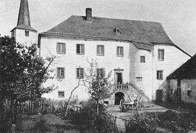 490 m
Farmhouses and Farm Buildings
Hersdorfer Schlösschen
 520 m
Catholic Churches