Place Names / Local History · Gothic
Erste Erwähnung Langinfelt


© GeoBasis-DE / LVermGeoRP, dl-de/by-2-0
There is no picture of this object yet. Do you have a photo that you would like to make available to the Kulturdatenbank? Submit a picture
Description
This description is only available in German.
Translate with Google opens this page in Google Translate (external service)
Erste urkundliche Erwähnung als Langinfelt 1283; Im Mittelalter gehörte der Ort zum Herrschaftsbereich der Grafen von Manderscheid; Teile des Ortes unterstanden der Gerichtsbarkeit der Herren von Schönecken. Kleinlangenfeld erlitt am Ende des II. Weltkrieges starke Zerstörungen durch Kriegseinwirkungen.
Classification
- Subject area
- History
- Category
- Place Names / Local History
- Date
- 1283
- Period
- Gothic
Location
- District
- Eifelkreis Bitburg-Prüm
- Collective municipality
- Prüm
- Municipality
- Kleinlangenfeld
- Field name
- Ortslage
- Coordinates
- WGS 84: 50.269758, 6.478082 (Position: within the village) WGS 84: 50° 16′ 11.1″ N, 6° 28′ 41.1″ E UTM 32 (ETRS89): E 320285 · N 5571667
Sources
Data sources
- © Marzellus Boos http://www.eifeltour.de/
On the internet
Last edited: 21 Jun 2001 Object ID: 3289
https://kulturdb.de/en/objekt/3289-kleinlangenfeld-erste-erwaehnung-langinfelt
Nearby
The nearest objects
Field Names
Winkelshaus
 80 m
Monuments
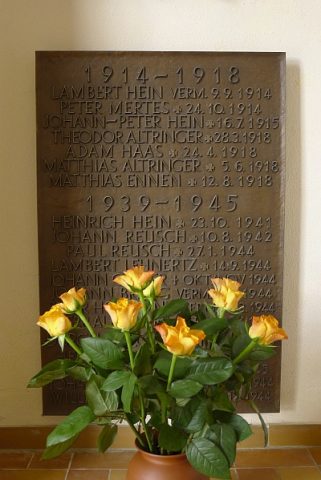
Sankt Agathe und Sankt Lucia - Gedenktafel
 90 m
Catholic Churches
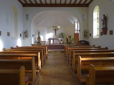
Sankt Agathe und Sankt Lucia (1)
 90 m
Catholic Churches
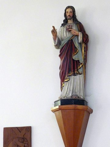
Sankt Agathe und Sankt Lucia (2)
Wayside Shrines and Stations of the Cross
Steinkreuz mit Kreuzigungsgruppe
Wayside Shrines and Stations of the Cross
Wegekreuz
Wayside Shrines and Stations of the Cross
Wegekreuz
Wayside Shrines and Stations of the Cross