Wayside Shrines and Stations of the Cross · Undated
Wegekreuz


© GeoBasis-DE / LVermGeoRP, dl-de/by-2-0
There is no picture of this object yet. Do you have a photo that you would like to make available to the Kulturdatenbank? Submit a picture
Description
This description is only available in German.
Translate with Google opens this page in Google Translate (external service)
Auf der Gemeindegrenze zu Lützkampen.
Classification
- Subject area
- Architectural and Art Monuments
- Category
- Religious Buildings
- Object type
- Wayside Shrines and Stations of the Cross
- Date
- Undatiert
- Period
- Undated
Location
- District
- Eifelkreis Bitburg-Prüm
- Collective municipality
- Arzfeld
- Municipality
- Harspelt
- Street
- Dorfstraße
- Field name
- Leinendell
- Coordinates
- WGS 84: 50.141910, 6.169470 (Position: exact) WGS 84: 50° 08′ 30.9″ N, 6° 10′ 10.1″ E UTM 32 (ETRS89): E 297757 · N 5558245
Sources
Data sources
- GeoPortal des Landes Rheinland-Pfalz. http://www.geoportal.rlp.de/
On the internet
Last edited: 9 Jan 2014 Object ID: 32967
https://kulturdb.de/en/objekt/32967-harspelt-wegekreuz
Nearby
The nearest objects
 160 m
Chapels
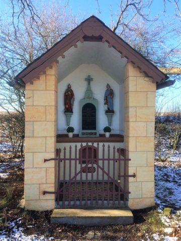
Stranenkapelle
 160 m
Wayside Shrines and Stations of the Cross
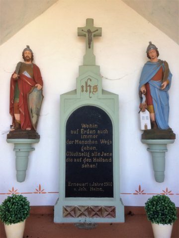
Pestkreuz in der Stranenkapelle
Field Names
Leinendell
 320 m
Wayside Shrines and Stations of the Cross
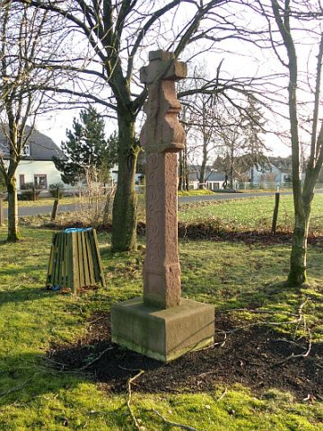
Wegekreuz
Viewpoints
Aussichtspunkt Kapelle am Hubertyshof
 330 m
Chapels
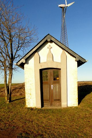
Reuschkapelle
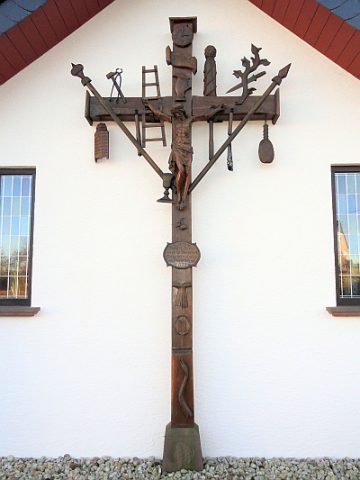 370 m
Wayside Shrines and Stations of the Cross
Kruzifix am ehemaligen Pfarrhaus
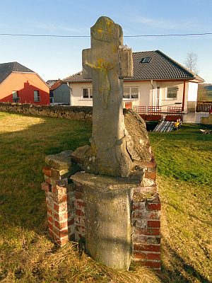 440 m
Wayside Shrines and Stations of the Cross