Wayside Shrines and Stations of the Cross · Undated
Wegekreuz


Description
This description is only available in German.
Translate with Google opens this page in Google Translate (external service)
Classification
- Subject area
- Architectural and Art Monuments
- Category
- Religious Buildings
- Object type
- Wayside Shrines and Stations of the Cross
- Date
- Undatiert
- Period
- Undated
Location
- District
- Eifelkreis Bitburg-Prüm
- Collective municipality
- Prüm
- Municipality
- Feuerscheid
- Locality / location
- Obere Hardt
- Street
- Obere Hardt 1
- Field name
- Gänsenacherwiese
- Coordinates
- WGS 84: 50.091440, 6.444360 (Position: exact) WGS 84: 50° 05′ 29.2″ N, 6° 26′ 39.7″ E UTM 32 (ETRS89): E 317203 · N 5551926
Sources
Data sources
- [1] Michael Fischer, Waxweiler, 2015.
On the internet
Picture credits
Last edited: 1 Jan 2015 Object ID: 32971
https://kulturdb.de/en/objekt/32971-feuerscheid-wegekreuz
Nearby
The nearest objects
No picture
60 m
Place Names / Local History
Ortsgeschichte Obere Hardt
 300 m
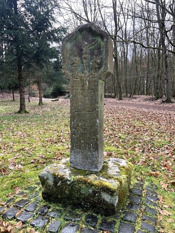
Wayside Shrines and Stations of the Cross
Kreuzigungsbildstock
 390 m
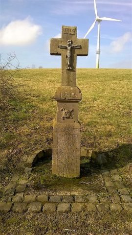
Wayside Shrines and Stations of the Cross
Schaftkreuz von 1875
No picture
400 m
Wayside Shrines and Stations of the Cross
Wegekreuz
No picture
500 m
Fossils
Fundstellen tierischer Versteinerungen
 560 m
Field Names
Im krummen Acker
No picture
560 m
Surveying
Trigonometrisches Signal Krummenacker
 650 m
Wayside Shrines and Stations of the Cross