Wayside Shrines and Stations of the Cross · Historicism / Art Nouveau
Wegekreuz


Classification
- Subject area
- Architectural and Art Monuments
- Category
- Religious Buildings
- Object type
- Wayside Shrines and Stations of the Cross
- Date
- 1916
Location
- District
- Bernkastel-Wittlich
- Collective municipality
- Bernkastel-Kues
- Municipality
- Gornhausen
- Street
- Am Merscheider Weg
- Field name
- Auf dem Rück
- Coordinates
- WGS 84: 49.857830, 7.047840 (Position: exact) WGS 84: 49° 51′ 28.2″ N, 7° 02′ 52.2″ E UTM 32 (ETRS89): E 359687 · N 5524651
Sources
Data sources
- [1] Helmut Bauer, Trier, 2015.
On the internet
Picture credits
Last edited: 12 Apr 2015 Object ID: 32987
https://kulturdb.de/en/objekt/32987-gornhausen-wegekreuz
Nearby
The nearest objects
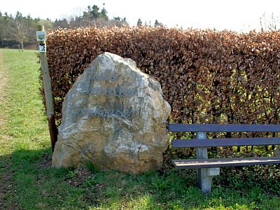 50 m
Springs
Borresbor
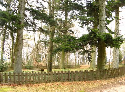 150 m
Commemorative Plantings
Kaisergarten
 150 m
Oaks
Alte Eiche am Sportplatz
No picture
180 m
Washing Places
Boor - öffentlicher Waschplatz
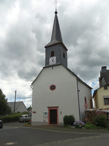 250 m
Protestant Churches
Evangelische Kirche - Außen
No picture
250 m
Farmhouses and Farm Buildings
Hofanlage
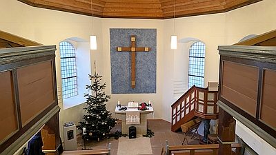 250 m
Protestant Churches
Evangelische Kirche - Innen
 280 m
Market Towns