Viewpoints · Undated
Aussichtspunkt Gemünd


© GeoBasis-DE / LVermGeoRP, dl-de/by-2-0
There is no picture of this object yet. Do you have a photo that you would like to make available to the Kulturdatenbank? Submit a picture
Classification
- Subject area
- Natural Features
- Category
- Viewpoints
- Date
- Undatiert
- Period
- Undated
Location
- District
- Trier-Saarburg
- Collective municipality
- Saarburg-Kell
- Municipality
- Wincheringen
- Field name
- Im Reitersbrand
- Coordinates
- WGS 84: 49.615072, 6.422249 (Position: exact) WGS 84: 49° 36′ 54.3″ N, 6° 25′ 20.1″ E UTM 32 (ETRS89): E 313799 · N 5499026
Sources
Data sources
- [1] Wanderkarten im Maßstab 1:50.000 und 1:25.000.
On the internet
Last edited: 17 Jan 2014 Object ID: 33116
https://kulturdb.de/en/objekt/33116-wincheringen-aussichtspunkt-gemuend
Nearby
The nearest objects
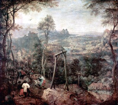 360 m
Execution Sites
Gewann Im Galgenberg
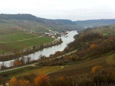 470 m
Viewpoints
Aussichtspunkt Mettfels
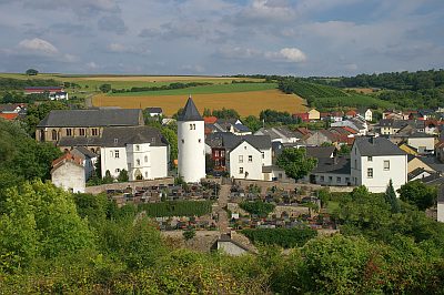 550 m
Castles
Burg Wincheringen - ehemaliges Wirtschaftsgebäude
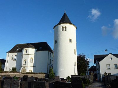 580 m
Castles
Burg Wincheringen - Herrschaftshaus
580 m
Castles
Burg Wincheringen - ehemaliges Wirtschaftsgebäude
580 m
Castles
Burg Wincheringen - Wehrturm
No picture
610 m
Mills
Warsberger Mühle
No picture
620 m
Mills