Field Names · Undated
Kimmelsberg


© GeoBasis-DE / LVermGeoRP, dl-de/by-2-0
There is no picture of this object yet. Do you have a photo that you would like to make available to the Kulturdatenbank? Submit a picture
Description
This description is only available in German.
Translate with Google opens this page in Google Translate (external service)
Der Name "Kiemen" (auch "Kemen, Kiem, Kimm[el]") weist meist auf alte Römerstraßen. Ihm liegt das gallorömische Wort caminus "Weg" zugrunde, das sich auch im französischen chemin "Weg" erhalten hat. So befand sich einst nach Steinhausen bei Cruchten, Kr. Bitburg, das in seinem Namen ebenfalls auf ein lateinisches Wort crupta "Grab", zurückgeht, eine römische Siedlung auf der Flur "Kiemen" dicht an einer alten Straße.
Der Wandel des a in caminus zu e fand etwa zur Karolingerzeit im Galloromanischen statt. […]
Classification
- Subject area
- History
- Category
- Field Names
- Date
- Undatiert
- Period
- Undated
Location
- District
- Bernkastel-Wittlich
- Collective municipality
- Thalfang am Erbeskopf
- Municipality
- Merschbach
- Field name
- Kimmelsberg
- Coordinates
- WGS 84: 49.806133, 7.003133 (Position: exact) WGS 84: 49° 48′ 22.1″ N, 7° 00′ 11.3″ E UTM 32 (ETRS89): E 356321 · N 5518989
Sources
Data sources
- Prof. Dr. Wolfgang Jungandreas, Trier: Das Alter der Orts- und Flurnamen im Trierer Land. In: Trierisches Jahrbuch 1958, S.70. Hrsg. Stadtbibliothek Trier und Verein Trierisch, Verlag Jacob Lintz KG, Trier.
On the internet
Last edited: 28 Jan 2014 Object ID: 33226
https://kulturdb.de/en/objekt/33226-merschbach-kimmelsberg
Nearby
The nearest objects
 280 m
Lime Trees
Linde
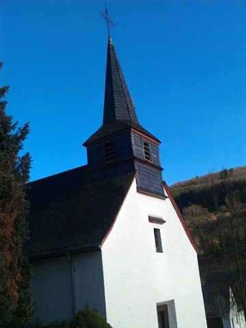 320 m
Catholic Churches
Katholische Filialkirche
Field Names
Kimmelsberg
Farmhouses and Farm Buildings
Quereinhaus
Field Names
Garten-Bungert
Wayside Shrines and Stations of the Cross
Wegekreuz
Field Names
Beim Kirchenbungert
Field Names