Field Names · Renaissance
Im Brühl


© GeoBasis-DE / LVermGeoRP, dl-de/by-2-0
There is no picture of this object yet. Do you have a photo that you would like to make available to the Kulturdatenbank? Submit a picture
Description
This description is only available in German.
Translate with Google opens this page in Google Translate (external service)
Brühl (Broel) 1566 im Brühlnieden der Hecken, 1586 im Bruell ahm Mehnerbach bei der Brucken, 1720 zwischen Brühll und der Zwerheck [1]
Classification
- Subject area
- History
- Category
- Field Names
- Date
- 1566
- Period
- Renaissance
Location
- District
- Trier-Saarburg
- Collective municipality
- Trier-Land
- Municipality
- Welschbillig
- Field name
- Im Brühl
- Coordinates
- WGS 84: 49.848924, 6.572948 (Position: exact) WGS 84: 49° 50′ 56.1″ N, 6° 34′ 22.6″ E UTM 32 (ETRS89): E 325525 · N 5524659
Sources
Data sources
- [1] Eduard Lichter: Welschbillig und Umgebung. Ein Beitrag zur Geschichte der Südwesteifel. 1977. Schriftenreihe Ortschroniken des Trierer Landes, Band 14.
On the internet
Last edited: 28 Jan 2020 Object ID: 33322
https://kulturdb.de/en/objekt/33322-welschbillig-im-bruehl
Nearby
The nearest objects
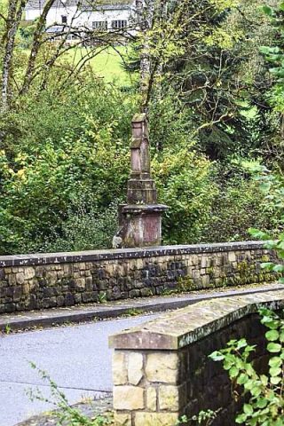 140 m
Road Transport
Brücke über den Möhner Graben
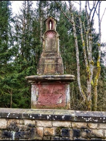 140 m
Wayside Shrines and Stations of the Cross
Brückenkreuz
Field Names
Im Seel jenseits des Grabens
Field Names
Vorn am Golsberg
Field Names
In Seel
Burial Mounds
Fränkische Gräber
Lime Kilns
Ehemaliger Kalkofen
Field Names