Wayside Shrine Houses · Undated
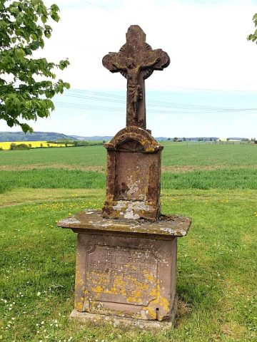
Wegekreuz


Description
This description is only available in German.
Translate with Google opens this page in Google Translate (external service)
Classification
- Subject area
- Architectural and Art Monuments
- Category
- Religious Buildings
- Object type
- Wayside Shrine Houses
- Date
- Undatiert
- Period
- Undated
Location
- District
- Eifelkreis Bitburg-Prüm
- Collective municipality
- Bitburger Land
- Municipality
- Rittersdorf
- Field name
- Im Tal
- Coordinates
- WGS 84: 49.999987, 6.485759 (Position: exact) WGS 84: 50° 00′ 00.0″ N, 6° 29′ 08.7″ E UTM 32 (ETRS89): E 319822 · N 5541659
Sources
Data sources
- [1] Michael Fischer, Malberg/Waxweiler, 2018.
- [2] GeoPortal des Landes Rheinland-Pfalz. http://www.geoportal.rlp.de/
On the internet
Picture credits
Last edited: 28 Jun 2018 Object ID: 33444
https://kulturdb.de/en/objekt/33444-rittersdorf-wegekreuz
Nearby
The nearest objects
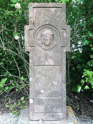 310 m
Wayside Shrines and Stations of the Cross
Wegekreuz
No picture
450 m
Wayside Shrine Houses
Giedenkreuz
No picture
520 m
Burial Mounds
Fränkisches Gräberfeld
No picture
530 m
Schools
Alte Schule
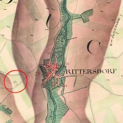 530 m
Execution Sites
Galgen
 540 m
Wayside Shrines and Stations of the Cross
Sogenanntes Dameskreuz
No picture
590 m
Settlements
Römische Siedlungsstelle
No picture
710 m
Vineyard Sites