Place Names / Local History · Undated
Ortsname / Ortsgeschichte


© GeoBasis-DE / LVermGeoRP, dl-de/by-2-0
There is no picture of this object yet. Do you have a photo that you would like to make available to the Kulturdatenbank? Submit a picture
Description
This description is only available in German.
Translate with Google opens this page in Google Translate (external service)
Die Herkunft des Ortsnamens ist unbekannt. In der Gemarkung Masthorn wurden Funde aus der Steinzeit gemacht. In der Feudalzeit gehörte der Ort zur Vielherrschaft Pronsfeld.
Classification
- Subject area
- History
- Category
- Place Names / Local History
- Date
- Undatiert
- Period
- Undated
Location
- District
- Eifelkreis Bitburg-Prüm
- Collective municipality
- Prüm
- Municipality
- Masthorn
- Field name
- Ortslage
- Coordinates
- WGS 84: 50.154796, 6.303464 (Position: within the village) WGS 84: 50° 09′ 17.3″ N, 6° 18′ 12.5″ E UTM 32 (ETRS89): E 307381 · N 5559323
Sources
Data sources
- http://www.eifeltour.de/ Copyright © Marzellus Boos.
On the internet
Last edited: 21 Jul 2001 Object ID: 3345
https://kulturdb.de/en/objekt/3345-masthorn-ortsname-ortsgeschichte
Nearby
The nearest objects
Historic Townscapes
Eifeltypische Bauernhäuser
 40 m
Wayside Shrines and Stations of the Cross
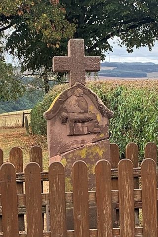
Barockes Schaftkreuz
 60 m
Pilgrimage Sites
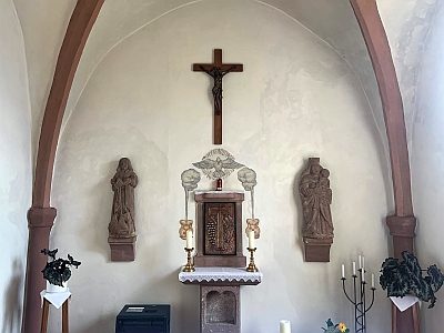
Sankt Matthias und Sankt Wendelinus [2]
 60 m
Chapels
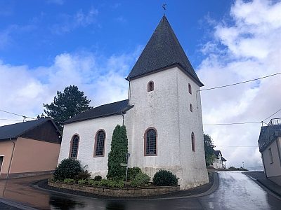
Sankt Matthias und Sankt Wendelinus [1]
Fortresses and Bunkers
Westwall - Sanitätsstand
Field Names
Im Bornseifen
Field Names
Auf`m Rothenbüsch
Wayside Shrines and Stations of the Cross