Wayside Shrines and Stations of the Cross · Baroque / Rococo
Wegekreuz


Description
This description is only available in German.
Translate with Google opens this page in Google Translate (external service)
Auf Höhenpunkt 526,2 Meter über Normal-Null. [1]
Classification
- Subject area
- Architectural and Art Monuments
- Category
- Religious Buildings
- Object type
- Wayside Shrines and Stations of the Cross
- Date
- Circa 1700 bis circa 1780
- Period
- Baroque / Rococo
Location
- District
- Eifelkreis Bitburg-Prüm
- Collective municipality
- Arzfeld
- Municipality
- Plütscheid
- Field name
- Auf dem Kehrweg
- Coordinates
- WGS 84: 50.091351, 6.410267 (Position: exact) WGS 84: 50° 05′ 28.9″ N, 6° 24′ 37.0″ E UTM 32 (ETRS89): E 314764 · N 5552000
Sources
Data sources
- [1] Michael Fischer, Waxweiler, 2014.
On the internet
Picture credits
Last edited: 13 Dec 2014 Object ID: 33454
https://kulturdb.de/en/objekt/33454-pluetscheid-wegekreuz
Nearby
The nearest objects
Field Names
Im engen Maar
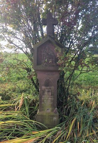 250 m
Wayside Shrines and Stations of the Cross
Wegekreuz
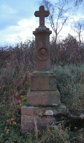 260 m
Wayside Shrines and Stations of the Cross
Wegekreuz
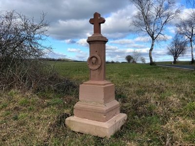 260 m
Wayside Shrines and Stations of the Cross
Wegekreuz
Surveying
Trigonometrisches Signal
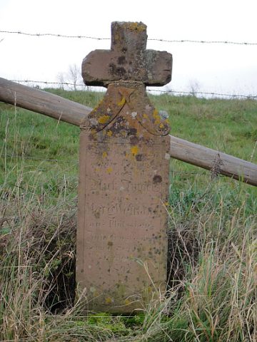 330 m
Wayside Shrines and Stations of the Cross
Auswanderer-Kreuz
Field Names
Auf dem Kehrweg
Field Names