Wayside Shrines and Stations of the Cross · Undated
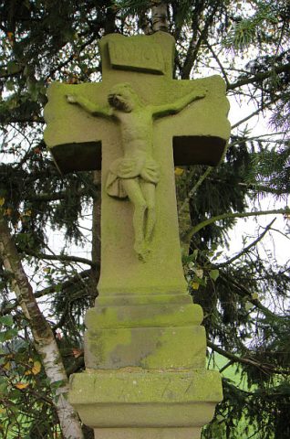
Wegekreuz

Description
This description is only available in German.
Translate with Google opens this page in Google Translate (external service)
Inschrift: Patrick [1]
Classification
- Subject area
- Architectural and Art Monuments
- Category
- Religious Buildings
- Object type
- Wayside Shrines and Stations of the Cross
- Date
- Undatiert
- Period
- Undated
Location
- District
- Eifelkreis Bitburg-Prüm
- Collective municipality
- Arzfeld
- Municipality
- Pintesfeld
- Field name
- Unterm Weg
- Coordinates
- WGS 84: 50.114873, 6.363480 (Position: exact) WGS 84: 50° 06′ 53.5″ N, 6° 21′ 48.5″ E UTM 32 (ETRS89): E 311511 · N 5554732
Sources
Data sources
- [1] Michael Fischer, Waxweiler, 2014.
On the internet
Picture credits
- Picture 1: © Michael Fischer, Waxweiler, 2014.
Last edited: 27 Oct 2014 Object ID: 33465
https://kulturdb.de/en/objekt/33465-pintesfeld-wegekreuz
Nearby
The nearest objects
 250 m
Wayside Shrines and Stations of the Cross
Schaftkreuz von 1777
No picture
270 m
Burial Mounds
Grabhügel
No picture
480 m
Field Names
Bei Kellenborn
No picture
510 m
Field Names
In Haasendell
No picture
630 m
Extraction and Processing of Raw Materials
Ehemaliger Steinbruch
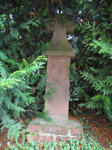 690 m
Wayside Shrines and Stations of the Cross
Wegekreuz
No picture
720 m
Place Names / Local History
Ortsgeschichte Pintesfeld
No picture
800 m
Field Names