Place Names / Local History · Undated
Ortsname / Ortsgeschichte


© GeoBasis-DE / LVermGeoRP, dl-de/by-2-0
There is no picture of this object yet. Do you have a photo that you would like to make available to the Kulturdatenbank? Submit a picture
Description
This description is only available in German.
Translate with Google opens this page in Google Translate (external service)
In der Nähe des Ortes wurden Gräber aus keltischer Zeit gefunden.
Der Namensteil -rath steht in der Bedeutung Rodung und verweist auf eine Entstehung um das Jahr 1000 nhr. hin. In der Feudalzeit gehörte der Ort zum Kondominium Pronsfeld. Bis 1970 gehörte der Ort zum Amtsbezirk Waxweiler. Als einziger Ort dieses Amtes kam Matzerath bei der Verwaltungsreform 1971 zur Verbandsgemeinde Prüm.
Classification
- Subject area
- History
- Category
- Place Names / Local History
- Date
- Undatiert
- Period
- Undated
Location
- District
- Eifelkreis Bitburg-Prüm
- Collective municipality
- Prüm
- Municipality
- Matzerath
- Field name
- Ortslage
- Coordinates
- WGS 84: 50.147146, 6.379329 (Position: within the village) WGS 84: 50° 08′ 49.7″ N, 6° 22′ 45.6″ E UTM 32 (ETRS89): E 312770 · N 5558280
Sources
Data sources
- http://www.eifeltour.de/ Copyright © Marzellus Boos.
On the internet
Last edited: 21 Jul 2001 Object ID: 3348
https://kulturdb.de/en/objekt/3348-matzerath-ortsname-ortsgeschichte
Nearby
The nearest objects
Fountains and Wells
Dorfbrunnen
 90 m
Oaks
Alte Eiche
 110 m
Wayside Shrines and Stations of the Cross
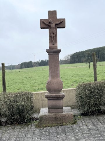
Wegekreuz
Chapels
Kapelle
 150 m
Wayside Shrines and Stations of the Cross
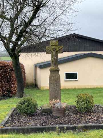
Wegekreuz
Wayside Shrines and Stations of the Cross
Wegekreuz
Field Names
Auf den Kirchenfeldern
Wayside Shrines and Stations of the Cross