Wayside Shrines and Stations of the Cross · Undated
Reuschenkreuz


Description
This description is only available in German.
Translate with Google opens this page in Google Translate (external service)
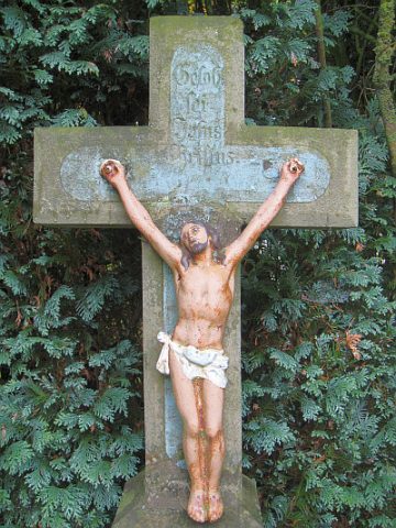
Das schmale Gusseisenkreuz mit Endverzierungen an den Kreuzarmen und kleinem Zinncorpus ist aufgerichtet auf dem Grundstück des Reuschenhofes an der alten Römerstraße, an der Gabelung des Lauperather Weges.
Hier soll vor etwa 180 Jahren ein Urahn des Hofes, von verrichteter Waldarbeit heimgekehrt, an dieser Stelle den Tod gefunden haben.
Die Nachfahren setzten ihm somit ein Denkmal. [1]
Classification
- Subject area
- Architectural and Art Monuments
- Category
- Religious Buildings
- Object type
- Wayside Shrines and Stations of the Cross
- Date
- Undatiert
- Period
- Undated
Location
- District
- Eifelkreis Bitburg-Prüm
- Collective municipality
- Arzfeld
- Municipality
- Lauperath
- Field name
- Auf Bockesbruch
- Coordinates
- WGS 84: 50.079536, 6.328540 (Position: exact) WGS 84: 50° 04′ 46.3″ N, 6° 19′ 42.7″ E UTM 32 (ETRS89): E 308872 · N 5550892
Sources
Data sources
- [1] Info-Tafel am Kreuz.
On the internet
Picture credits
Last edited: 2 Jan 2015 Object ID: 33529
https://kulturdb.de/en/objekt/33529-lauperath-reuschenkreuz
Nearby
The nearest objects
Field Names
Auf der Sauerwies
 600 m
Wayside Shrines and Stations of the Cross
Laser Kreuz
 730 m
Burial Sites
Grabkreuz
Field Names
Auf Eisenbruch
Place Names / Local History
Ortsname / Ortsgeschichte
Field Names
Im Klockenpesch
Place Names / Local History
Ortsgeschichte Scheidchen
 860 m
Wayside Shrines and Stations of the Cross