Wayside Shrines and Stations of the Cross · Undated
Wegekreuz

Classification
- Subject area
- Architectural and Art Monuments
- Category
- Religious Buildings
- Object type
- Wayside Shrines and Stations of the Cross
- Date
- Undatiert
- Period
- Undated
Location
- District
- Eifelkreis Bitburg-Prüm
- Collective municipality
- Bitburger Land
- Municipality
- Pickließem
- Street
- Gegenüber Spanger Str. 9
- Field name
- Auf den Laachenhöchsten
- Coordinates
- WGS 84: 49.988399, 6.650141 (Position: exact) WGS 84: 49° 59′ 18.2″ N, 6° 39′ 00.5″ E UTM 32 (ETRS89): E 331560 · N 5539987
Sources
Data sources
- [1] Michael Fischer, Malberg/Waxweiler, 2022.
On the internet
bitburgerland.de/og-pickliessem/ortsgemeinde-pickliessem
Picture credits
- Picture 1: © Michael Fischer, Malberg/Waxweiler, 2022.
Last edited: 22 Mar 2022 Object ID: 33539
https://kulturdb.de/en/objekt/33539-pickliessem-wegekreuz
Nearby
The nearest objects
No picture
110 m
Place Names / Local History
Ortsgeschichte Pickliessem
 110 m
Coats of Arms
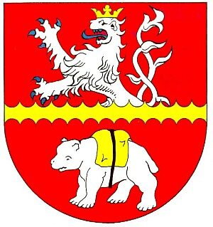
Wappen der Gemeinde Pickliessem
No picture
120 m
Farmhouses and Farm Buildings
Wohnhaus
No picture
120 m
Farmhouses and Farm Buildings
Dreiseithof
No picture
120 m
Farmhouses and Farm Buildings
Ehemaliges (Hartelsteiner?) Hofgut
 130 m
Castles
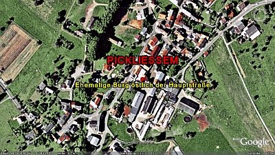
Ehemalige Burg östlich der Hauptstraße
No picture
160 m
Farmhouses and Farm Buildings
Eingang
No picture
170 m
Wayside Shrines and Stations of the Cross