Place Names / Local History · Undated
Ortsname / Ortsgeschichte


© GeoBasis-DE / LVermGeoRP, dl-de/by-2-0
There is no picture of this object yet. Do you have a photo that you would like to make available to the Kulturdatenbank? Submit a picture
Description
This description is only available in German.
Translate with Google opens this page in Google Translate (external service)
Auf dem Viehberg bei Nimshuscheid wurden Funde aus der Jungsteinzeit gemacht. Es handelt sich dabei vermutlich um einen jungsteinzeitlichen Werkplatz. Der Ort wird als honesceden bereits 893 im Prümer Urbar erwähnt. In der Feudalzeit haben die Herren von Schönecken Rechte in Nimshuscheid. Unter französischer Verwaltung gehört der Ort zum Kanton Kyllburg und zur Mairie Burbach. Unter Preußen wird der Ort ab 1823 von Schönecken aus verwaltet.
Classification
- Subject area
- History
- Category
- Place Names / Local History
- Date
- Undatiert
- Period
- Undated
Location
- District
- Eifelkreis Bitburg-Prüm
- Collective municipality
- Prüm
- Municipality
- Nimshuscheid
- Field name
- Ortslage
- Coordinates
- WGS 84: 50.099371, 6.489856 (Position: within the village) WGS 84: 50° 05′ 57.7″ N, 6° 29′ 23.5″ E UTM 32 (ETRS89): E 320487 · N 5552697
Sources
Data sources
- http://www.eifeltour.de/ Copyright © Marzellus Boos.
On the internet
Last edited: 21 Jul 2001 Object ID: 3359
https://kulturdb.de/en/objekt/3359-nimshuscheid-ortsname-ortsgeschichte
Nearby
The nearest objects
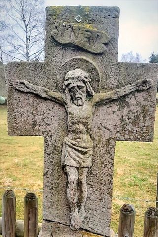 40 m
Wayside Shrines and Stations of the Cross
Schaftkreuz mit Rundbogennische (1)
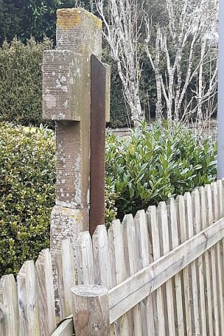 40 m
Wayside Shrines and Stations of the Cross
Schaftkreuz mit Rundbogennische (2)
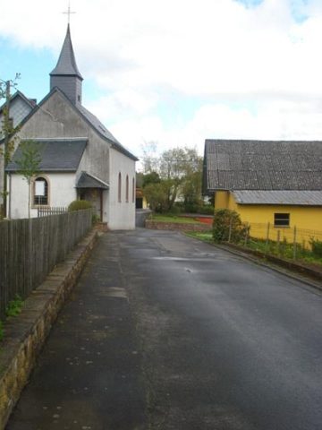 80 m
Catholic Churches
Heilige Brigitta
 170 m
Wayside Shrines and Stations of the Cross
Schaftkreuz
Field Names
Steinpesch
Wayside Shrines and Stations of the Cross
Wegekreuz
Field Names
Unter dem Scheid
Field Names