Wayside Shrines and Stations of the Cross · Undated
Wegekreuz(rest)


Description
This description is only available in German.
Translate with Google opens this page in Google Translate (external service)
Wegekreuz(rest), Schaft und Kreuzaufsatz fehlend. [1]
Classification
- Subject area
- Architectural and Art Monuments
- Category
- Religious Buildings
- Object type
- Wayside Shrines and Stations of the Cross
- Date
- Undatiert
- Period
- Undated
Location
- District
- Bernkastel-Wittlich
- Collective municipality
- Bernkastel-Kues
- Municipality
- Lieser
- Field name
- Hinter Goldschmitsgraben
- Coordinates
- WGS 84: 49.922857, 7.018257 (Position: exact) WGS 84: 49° 55′ 22.3″ N, 7° 01′ 05.7″ E UTM 32 (ETRS89): E 357752 · N 5531936
Sources
Data sources
- [1] Michael Grün, Trier, 2022.
On the internet
Picture credits
Last edited: 17 Nov 2022 Object ID: 33616
https://kulturdb.de/en/objekt/33616-lieser-wegekreuz-rest
Nearby
The nearest objects
No picture
210 m
Field Names
Weideborn
No picture
240 m
Field Names
Hostert
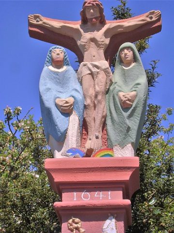 250 m
Wayside Shrines and Stations of the Cross
Matthias Glabus-Kreuz
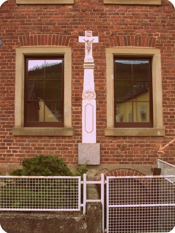 270 m
Wayside Shrines and Stations of the Cross
Schaftkreuz
No picture
320 m
Wayside Shrines and Stations of the Cross
Wegekreuz
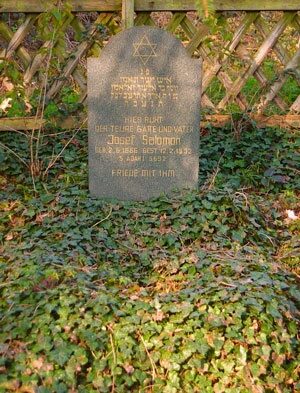 340 m
Jewish Cemeteries
Neuer jüdischer Friedhof
No picture
340 m
Jewish History
Jüdische Geschichte
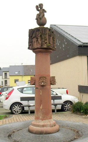 340 m
Works of Art