Place Names / Local History · Undated
Ortsname / Ortsgeschichte


© GeoBasis-DE / LVermGeoRP, dl-de/by-2-0
There is no picture of this object yet. Do you have a photo that you would like to make available to the Kulturdatenbank? Submit a picture
Description
This description is only available in German.
Translate with Google opens this page in Google Translate (external service)
Keltische Wallanlagen auf der Gemarkung sind die ältesten Siedlungsspuren. Möglicherweise leitet sich der Name Plütscheid aus dem Wort Plotiacum ab, was auf eine erste Siedlung in keltisch-römischer Zeit schließen ließe. Funde auf dem Hardberg bestätigen eine römische Siedlungstätigkeit. Als Pluzei wird der Ort 1220 im Maximiner Urbar erstmals urkundlich erwähnt. In der Feudalzeit gehörte der Ort zum kurtrierischen Amt Schönecken. In der Franzosenzeit gehörte Plütscheid zum Kanton und Arrondissement Prüm im Saardepartement. In preußischer Zeit wurde Plütscheid zunächst von der Bürgermeisterei Dingdorf, später von der Amtsbürgermeisterei Schönecken aus verwaltet.
Classification
- Subject area
- History
- Category
- Place Names / Local History
- Date
- Undatiert
- Period
- Undated
Location
- District
- Eifelkreis Bitburg-Prüm
- Collective municipality
- Arzfeld
- Municipality
- Plütscheid
- Field name
- Ortslage
- Coordinates
- WGS 84: 50.087429, 6.424381 (Position: within the village) WGS 84: 50° 05′ 14.7″ N, 6° 25′ 27.8″ E UTM 32 (ETRS89): E 315759 · N 5551529
Sources
Data sources
- http://www.eifeltour.de/ Copyright © Marzellus Boos.
On the internet
Last edited: 21 Jul 2001 Object ID: 3369
https://kulturdb.de/en/objekt/3369-pluetscheid-ortsname-ortsgeschichte
Nearby
The nearest objects
Catholic Churches
Ehemalige Kirche
 70 m
Wayside Shrines and Stations of the Cross
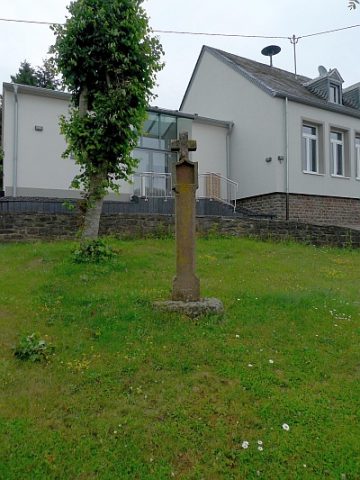
Nischenkreuz vor der ehemaligen Schule
Farmhouses and Farm Buildings
Streckhof
Farmhouses and Farm Buildings
Hakenhofanlage
Field Names
In der Held
 250 m
Wayside Shrines and Stations of the Cross
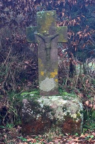
Wegekreuz
 280 m
Wayside Shrines and Stations of the Cross
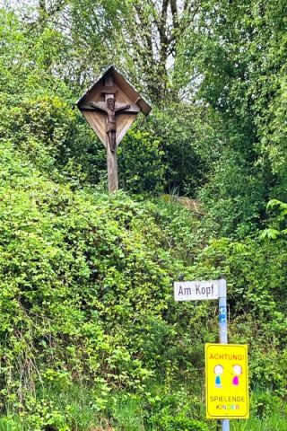
Wegekreuz
Field Names