Wayside Shrines and Stations of the Cross · 20th Century
Kreuzwegstation7


Classification
- Subject area
- Architectural and Art Monuments
- Category
- Religious Buildings
- Object type
- Wayside Shrines and Stations of the Cross
- Date
- 30.03.1999 [Einweihung]
- Period
- 20th Century
Location
- District
- Bernkastel-Wittlich
- Collective municipality
- Thalfang am Erbeskopf
- Municipality
- Horath
- Field name
- Am Graben
- Coordinates
- WGS 84: 49.806763, 6.983774 (Position: exact) WGS 84: 49° 48′ 24.3″ N, 6° 59′ 01.6″ E UTM 32 (ETRS89): E 354930 · N 5519096
Sources
Data sources
- [1] GeoPortal des Landes Rheinland-Pfalz. http://www.geoportal.rlp.de/
On the internet
Picture credits
Last edited: 16 Mar 2014 Object ID: 33711
https://kulturdb.de/en/objekt/33711-horath-kreuzwegstation7
Nearby
The nearest objects
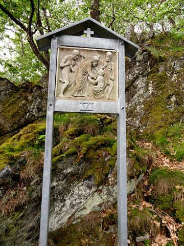 less than 10 m
Wayside Shrines and Stations of the Cross
Kreuzwegstation 6
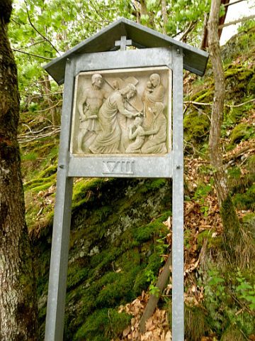 less than 10 m
Wayside Shrines and Stations of the Cross
Kreuzwegstation 8
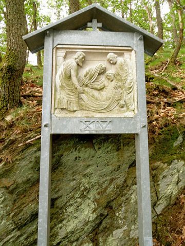 less than 10 m
Wayside Shrines and Stations of the Cross
Kreuzwegstation 14
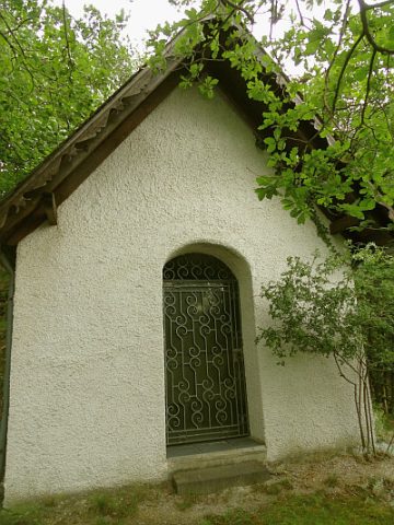 less than 10 m
Wayside Shrines and Stations of the Cross
Heimkehrer- und Gedächtniskapelle
 10 m
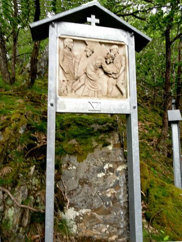
Wayside Shrines and Stations of the Cross
Kreuzwegstation 5
 10 m
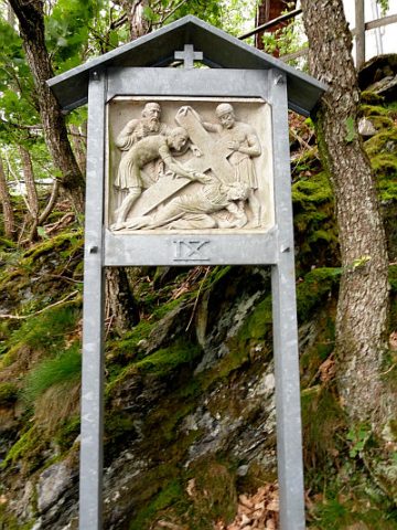
Wayside Shrines and Stations of the Cross
Kreuzwegstation 9
 10 m
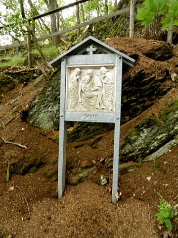
Wayside Shrines and Stations of the Cross
Kreuzwegstation 13
 10 m
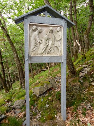
Wayside Shrines and Stations of the Cross