Place Names / Local History · Undated
Ortsname / Ortsgeschichte


© GeoBasis-DE / LVermGeoRP, dl-de/by-2-0
There is no picture of this object yet. Do you have a photo that you would like to make available to the Kulturdatenbank? Submit a picture
Description
This description is only available in German.
Translate with Google opens this page in Google Translate (external service)
Die Namensendung -scheid deutet auf eine Entstehung des heutigen Ortes in der späten mittelalterlichen Rodungsphase hin. Die erste urkundliche Erwähnung als Roischeit stammt aus dem Jahr1451. Zusammen mit der Meierei Eschfeld gehörte der Ort in der Feudalzeit zunächst zur Grundherrschaft des Klosters Prüm und fiel dann an die Herrschaft Dasburg in der Grafschaft Vianden im Herzogtum Luxemburg. Der Ort lag in der Hauptkampflinie des Westwalls und wurde am Ende des zweiten Weltkriegs zu 80% zerstört.
Classification
- Subject area
- History
- Category
- Place Names / Local History
- Date
- Undatiert
- Period
- Undated
Location
- District
- Eifelkreis Bitburg-Prüm
- Collective municipality
- Arzfeld
- Municipality
- Roscheid
- Field name
- Ortslage
- Coordinates
- WGS 84: 50.122236, 6.187504 (Position: within the village) WGS 84: 50° 07′ 20.0″ N, 6° 11′ 15.0″ E UTM 32 (ETRS89): E 298962 · N 5556010
Sources
Data sources
- http://www.eifeltour.de/ Copyright © Marzellus Boos.
On the internet
Last edited: 21 Jul 2001 Object ID: 3373
https://kulturdb.de/en/objekt/3373-roscheid-ortsname-ortsgeschichte
Nearby
The nearest objects
Fortresses and Bunkers
Westwall - Schartenstand
Wayside Shrines and Stations of the Cross
Wegekreuz
 160 m
Monuments
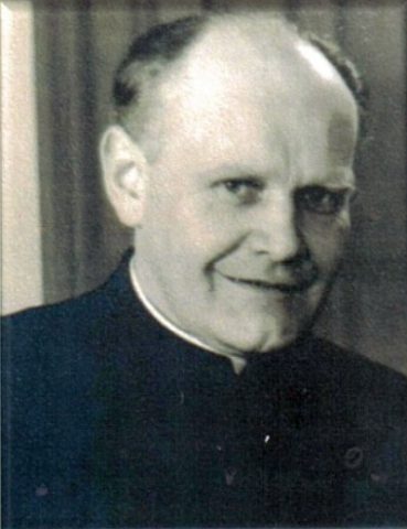
Mahn- und Gedenktafel für Pastor Franz Hansen
Fortresses and Bunkers
Westwall - Bunker ohne Kampfraum
Fortresses and Bunkers
Westwall - Bunker
Fortresses and Bunkers
Westwall - Schartenstand
Fortresses and Bunkers
Westwall - Bunker ohne Kampfraum
Fortresses and Bunkers