Wayside Shrines and Stations of the Cross · Undated
Wegekreuz


© GeoBasis-DE / LVermGeoRP, dl-de/by-2-0
There is no picture of this object yet. Do you have a photo that you would like to make available to the Kulturdatenbank? Submit a picture
Classification
- Subject area
- Architectural and Art Monuments
- Category
- Religious Buildings
- Object type
- Wayside Shrines and Stations of the Cross
- Date
- Undatiert
- Period
- Undated
Location
- District
- Eifelkreis Bitburg-Prüm
- Collective municipality
- Südeifel
- Municipality
- Ammeldingen an der Our
- Street
- Gegenüber Dorfstraße 1
- Field name
- Im Kirchenberg
- Coordinates
- WGS 84: 49.889861, 6.255772 (Position: exact) WGS 84: 49° 53′ 23.5″ N, 6° 15′ 20.8″ E UTM 32 (ETRS89): E 302893 · N 5529996
Sources
Data sources
- [1] GeoPortal des Landes Rheinland-Pfalz. http://www.geoportal.rlp.de/
On the internet
Last edited: 19 Mar 2014 Object ID: 33865
https://kulturdb.de/en/objekt/33865-ammeldingen-an-der-our-wegekreuz
Nearby
The nearest objects
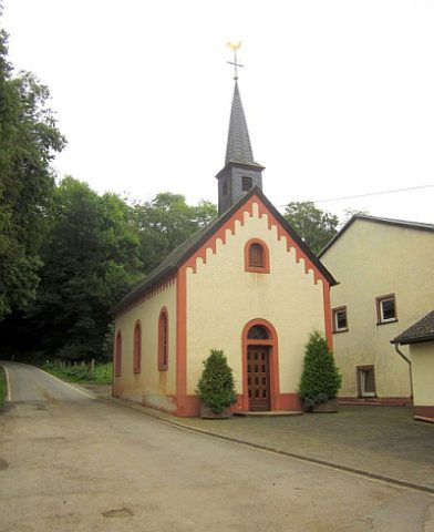 20 m
Catholic Churches
Sankt Urban und Sankt Wendelin
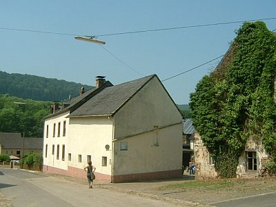 40 m
Farmhouses and Farm Buildings
Ehemaliges Gehöftswohnhaus
No picture
40 m
Farmhouses and Farm Buildings
Hauseingang
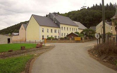 40 m
Place Names / Local History
Erste Erwähnung als Oingelingen
No picture
40 m
Fountains and Wells
Dorfbrunnen
No picture
40 m
Field Names
Im Kirchenberg
No picture
50 m
Farmhouses and Farm Buildings
Türeinfassung aus dem 18. Jahrhundert
No picture
70 m
Fortresses and Bunkers