Wayside Shrines and Stations of the Cross · Undated
Wegekreuz


Classification
- Subject area
- Architectural and Art Monuments
- Category
- Religious Buildings
- Object type
- Wayside Shrines and Stations of the Cross
- Date
- Undatiert
- Period
- Undated
Location
- District
- Trier-Saarburg
- Collective municipality
- Trier-Land
- Municipality
- Langsur
- Street
- Römerstraße
- Field name
- In der Kaul
- Coordinates
- WGS 84: 49.720409, 6.517301 (Position: exact) WGS 84: 49° 43′ 13.5″ N, 6° 31′ 02.3″ E UTM 32 (ETRS89): E 321052 · N 5510504
Sources
Data sources
- [1] Jörg Busch, Trier-Biewer, 2016.
On the internet
Picture credits
Last edited: 14 Dec 2016 Object ID: 33896
https://kulturdb.de/en/objekt/33896-langsur-wegekreuz
Nearby
The nearest objects
No picture
50 m
Field Names
Auf der Held
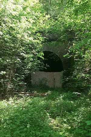 50 m
Railways
Mesenicher Tunnel
No picture
150 m
Fortresses and Bunkers
Westwall - Maschinengewehr-Schartenstand
No picture
160 m
Fortresses and Bunkers
Westwall - Maschinengewehr-Schartenstand
No picture
210 m
Fortresses and Bunkers
Westwall - Maschinengewehr-Schartenstand
No picture
220 m
Fortresses and Bunkers
Westwall - Maschinengewehr-Schartenstand
No picture
310 m
Fortresses and Bunkers
Westwall - Maschinengewehr-Schartenstand
No picture
320 m
Railways