Wayside Shrines and Stations of the Cross · Undated
Wegekreuz


Description
This description is only available in German.
Translate with Google opens this page in Google Translate (external service)
Inschrift:
erwähnt
1694
erneuert
2008 [1]
Classification
- Subject area
- Architectural and Art Monuments
- Category
- Religious Buildings
- Object type
- Wayside Shrines and Stations of the Cross
- Date
- Undatiert
- Period
- Undated
Location
- District
- Trier-Saarburg
- Collective municipality
- Schweich an der römischen Weinstraße
- Municipality
- Kenn
- Field name
- Kasels
- Coordinates
- WGS 84: 49.796543, 6.722108 (Position: exact) WGS 84: 49° 47′ 47.6″ N, 6° 43′ 19.6″ E UTM 32 (ETRS89): E 336069 · N 5518499
Sources
Data sources
- [1] Jörg Busch, Trier-Biewer, 2017.
On the internet
Picture credits
Last edited: 3 Jul 2017 Object ID: 33903
https://kulturdb.de/en/objekt/33903-kenn-wegekreuz
Nearby
The nearest objects
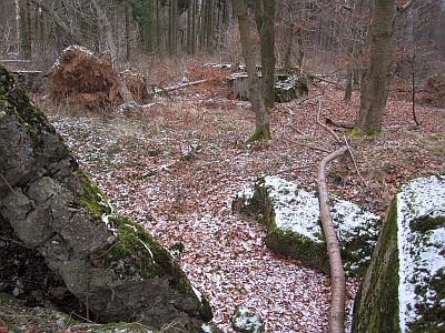 300 m
Fortresses and Bunkers
Westwall - Bunker
No picture
320 m
Field Names
Kirchgarten
No picture
390 m
Field Names
Im Grasgarten
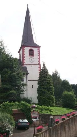 400 m
Catholic Churches
Sankt Margareta
No picture
420 m
Fortresses and Bunkers
Westwall - Bunker
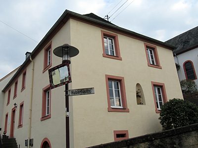 420 m
Rectories
Pfarrhaus Kenn mit Nische
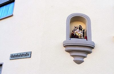 460 m
Wayside Shrines and Stations of the Cross
Kopie des Klausener Gnadenbildes
 500 m
Schools