Field Names · Renaissance
Hinter Rauschenfloß


© GeoBasis-DE / LVermGeoRP, dl-de/by-2-0
There is no picture of this object yet. Do you have a photo that you would like to make available to the Kulturdatenbank? Submit a picture
Description
This description is only available in German.
Translate with Google opens this page in Google Translate (external service)
1586 fuhr dem Rauschenfluß [1]
Classification
- Subject area
- History
- Category
- Field Names
- Date
- 1586
- Period
- Renaissance
Location
- District
- Trier-Saarburg
- Collective municipality
- Trier-Land
- Municipality
- Welschbillig
- Field name
- Hinter Rauschenfloß
- Coordinates
- WGS 84: 49.867076, 6.575843 (Position: exact) WGS 84: 49° 52′ 01.5″ N, 6° 34′ 33.0″ E UTM 32 (ETRS89): E 325798 · N 5526670
Sources
Data sources
- [1] Eduard Lichter: Welschbillig und Umgebung. Ein Beitrag zur Geschichte der Südwesteifel. 1977. Schriftenreihe Ortschroniken des Trierer Landes, Band 14.
On the internet
Last edited: 23 Mar 2014 Object ID: 34052
https://kulturdb.de/en/objekt/34052-welschbillig-hinter-rauschenfloss
Nearby
The nearest objects
Field Names
Bei der Münchwies
Field Names
Rauschenfloß
Field Names
Ober Rauschenfloß
Field Names
Auf Reitweg
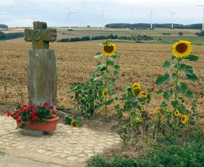 420 m
Wayside Shrines and Stations of the Cross
Sühnenkreuz
Field Names
Aufm Röthchen
Field Names
Am Reitweg
 630 m
Settlements