Lime Kilns · Historicism / Art Nouveau
Ehemaliger Kalkofen


© GeoBasis-DE / LVermGeoRP, dl-de/by-2-0
There is no picture of this object yet. Do you have a photo that you would like to make available to the Kulturdatenbank? Submit a picture
Classification
- Subject area
- Archaeological Monuments
- Category
- Economy, Trade and Transport
- Object type
- Lime Kilns
- Date
- 1886
Location
- District
- Bernkastel-Wittlich
- Collective municipality
- Wittlich-Land
- Municipality
- Landscheid
- Locality / location
- Burg/Salm
- Field name
- Im Fahrbüsch
- Coordinates
- WGS 84: 50.007078, 6.783727 (Position: exact) WGS 84: 50° 00′ 25.5″ N, 6° 47′ 01.4″ E UTM 32 (ETRS89): E 341196 · N 5541771
Sources
Data sources
- [1] Topographische Karte von 1886.
On the internet
Last edited: 24 Mar 2014 Object ID: 34120
https://kulturdb.de/en/objekt/34120-landscheid-ehemaliger-kalkofen
Nearby
The nearest objects
No picture
230 m
Field Names
Im Seitersflur
No picture
340 m
Field Names
Im Seitersflur
No picture
400 m
Place Names / Local History
Hof Heeg
 420 m
Ironworks
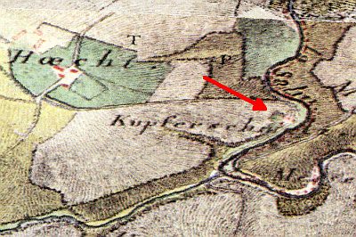
Hof Heeg - Ehemalige Kupferschmelze
No picture
470 m
Field Names
Am Schüttersborn
 510 m
Mills
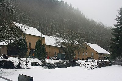
Meesenmühle
No picture
580 m
Field Names
Im Seitert
No picture
620 m
Field Names