Field Names · Undated
Werkland im Pätsch


© GeoBasis-DE / LVermGeoRP, dl-de/by-2-0
There is no picture of this object yet. Do you have a photo that you would like to make available to the Kulturdatenbank? Submit a picture
Description
This description is only available in German.
Translate with Google opens this page in Google Translate (external service)
Kleine Feldgärten in Ackerlücken, die neben dem Hausgarten bewirtschaftet wurden (Kraut, Möhren usw.). [1]
Classification
- Subject area
- History
- Category
- Field Names
- Date
- Undatiert
- Period
- Undated
Location
- District
- Trier-Saarburg
- Collective municipality
- Ruwer
- Municipality
- Waldrach
- Field name
- Werkland im Pätsch
- Coordinates
- WGS 84: 49.743238, 6.740338 (Position: exact) WGS 84: 49° 44′ 35.7″ N, 6° 44′ 25.2″ E UTM 32 (ETRS89): E 337203 · N 5512534
Sources
Data sources
On the internet
Last edited: 28 Sep 2013 Object ID: 34182
https://kulturdb.de/en/objekt/34182-waldrach-werkland-im-paetsch
Nearby
The nearest objects
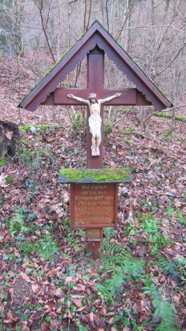 160 m
Wayside Shrines and Stations of the Cross
Gedenkkreuz
Field Names
Auf Schäfersbungert
Deserted Settlements
Ehemalige Siedlung In Pätsch
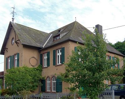 270 m
Farmhouses and Farm Buildings
Weingut
 380 m
Water Supply
Römische Ruwerwasserleitung
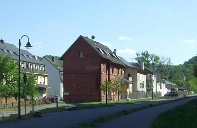 440 m
Railways
Ehemaliger Bahnhof
Field Names
Kestenrech
 470 m
Wayside Shrines and Stations of the Cross