Town Parks and Public Green Spaces · Historicism / Art Nouveau
Gedenkpflanzung

Description
This description is only available in German.
Translate with Google opens this page in Google Translate (external service)
Gedenkpflanzung Kaisergarten. Erinnert an die Reichsgründung und den Kaiserbesuch 1871.
Siehe auch:
http://wwwheinischer-verein.de/proj_0tm und http://www.rheinischer-verein.de/garten2a.htm
Classification
- Subject area
- Natural Features
- Category
- Parks, Gardens and Cemeteries
- Object type
- Town Parks and Public Green Spaces
- Date
- Circa 1850 bis 1920
Location
- District
- Bernkastel-Wittlich
- Collective municipality
- Thalfang am Erbeskopf
- Municipality
- Horath
- Field name
- Ortslage
- Coordinates
- WGS 84: 49.811576, 6.986089 (Position: within the village) WGS 84: 49° 48′ 41.7″ N, 6° 59′ 09.9″ E UTM 32 (ETRS89): E 355111 · N 5519627
Sources
Data sources
- Juliane Neu und Karl-Josef Prüm: Natur live erleben. 11 Rad und Wandertouren zu den schönsten Naturdenkmalen im Kreis Trier-Saarburg. Verlag Sanfter Tourismus Trier. 1996
On the internet
Picture credits
- Picture 1: Ortsgemeinde Horath 2002.
Last edited: 6 Sep 2002 Object ID: 342
https://kulturdb.de/en/objekt/342-horath-gedenkpflanzung
Nearby
The nearest objects
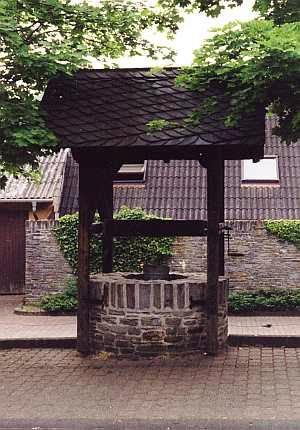 less than 10 m
Fountains and Wells
Brunnen
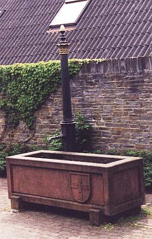 less than 10 m
Fountains and Wells
Brunnen
Farmhouses and Farm Buildings
Quereinhaus
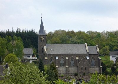 90 m
Catholic Churches
Sankt Bartholomäus
Field Names
Aufm Born
Wayside Shrines and Stations of the Cross
Wegekreuz
Wayside Shrines and Stations of the Cross
Wegekreuz
Wayside Shrines and Stations of the Cross