Field Names · Undated
In der Perg


© GeoBasis-DE / LVermGeoRP, dl-de/by-2-0
There is no picture of this object yet. Do you have a photo that you would like to make available to the Kulturdatenbank? Submit a picture
Description
This description is only available in German.
Translate with Google opens this page in Google Translate (external service)
Pferch = Zu althochdeutsch pfarrih, pferrih ‚Gehege, Hürde‘, mittelhochdeutsch pherrich st. M. ‚Einfriedung‘, einer Entlehnung aus dem mittellateinischen parricus ‚eingeschlossener Raum, Gehege‘. Dabei handelt es sich meist um Einfriedungen, die an wechselnden Stellen eingerichtet werden, um eine Herde aufzunehmen.
Classification
- Subject area
- History
- Category
- Field Names
- Date
- Undatiert
- Period
- Undated
Location
- District
- Trier-Saarburg
- Collective municipality
- Ruwer
- Municipality
- Lorscheid
- Field name
- In der Perg
- Coordinates
- WGS 84: 49.741558, 6.855725 (Position: exact) WGS 84: 49° 44′ 29.6″ N, 6° 51′ 20.6″ E UTM 32 (ETRS89): E 345510 · N 5512103
Sources
Data sources
- "PERG", in: Hessische Flurnamen <http://www.lagis-hessen.de/de/subjects/idrec/sn/fln/id/591614> (Stand: 1.11.2012)
On the internet
Last edited: 3 Apr 2014 Object ID: 34237
https://kulturdb.de/en/objekt/34237-lorscheid-in-der-perg
Nearby
The nearest objects
Deserted Settlements
Feldkreuz
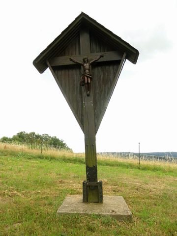 220 m
Wayside Shrines and Stations of the Cross
Fliegenkreuz
Deserted Settlements
Ehemalige Siedlung Meirath
Field Names
Am Holzweg
Field Names
Ober Scholersbungert
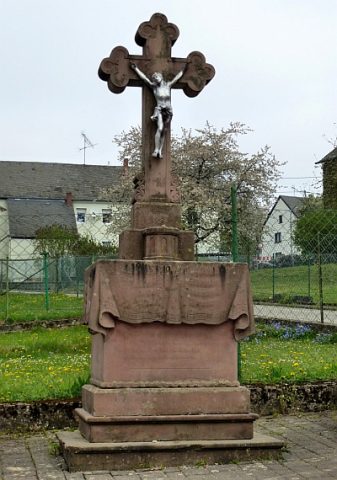 520 m
Wayside Shrines and Stations of the Cross
Prozessionskreuz
Place Names / Local History
Ortsteil Wellscheid
Field Names