Exhibitions, Cultural Centres and Memorial Sites · 20th Century
Ehemaliger Schiefersteinbruch
KZ-Gedenkstätte Hinzert
- Listed monument


© GeoBasis-DE / LVermGeoRP, dl-de/by-2-0
There is no picture of this object yet. Do you have a photo that you would like to make available to the Kulturdatenbank? Submit a picture
Classification
- Subject area
- Architectural and Art Monuments
- Category
- Educational Institutions
- Date
- 1942/43
- Period
- 20th Century
Location
- District
- Trier-Saarburg
- Collective municipality
- Hermeskeil
- Municipality
- Hinzert-Pölert
- Locality / location
- Hinzert
- Field name
- Unter der Leienkaul
- Coordinates
- WGS 84: 49.699180, 6.901740 (Position: presumed) WGS 84: 49° 41′ 57.0″ N, 6° 54′ 06.3″ E UTM 32 (ETRS89): E 348693 · N 5507298
Sources
Data sources
- Rheinland-Pfalz - Blätter zum Land - Extra, 3. und aktualisierte Auflage 2013. Die Gedenkstätte
- SS-Sonderlager/KZ Hinzert. Hrsg: Landeszentrale für politische Bildung Rheinland-Pfalz, Am Kronberger Hof 6, 55116 Mainz , http://www.politische-bildung-rlp.de
- http://www.gedenkstaette-hinzert-rlp.de/fileadmin/user_upload/PDFs/…
On the internet
Last edited: 6 Apr 2014 Object ID: 34352
https://kulturdb.de/en/objekt/34352-hinzert-poelert-ehemaliger-schiefersteinbruch
Nearby
The nearest objects
No picture
60 m
Field Names
Unter der Leienkaul
No picture
180 m
Field Names
Das Ehrigsroth
No picture
330 m
Field Names
Aufm Hohrech
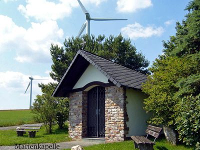 370 m
Chapels
Marienkapelle
No picture
400 m
Field Names
Im Murtengarten
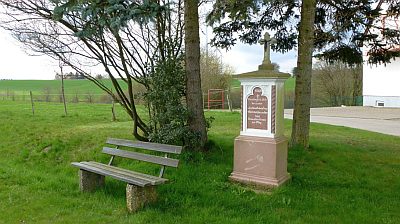 420 m
Wayside Shrines and Stations of the Cross
Dankeskreuz
No picture
460 m
Field Names
Auf der Trift
No picture
530 m
Wayside Shrines and Stations of the Cross