Ironworks · Baroque / Rococo
Eisenerzeugung


© GeoBasis-DE / LVermGeoRP, dl-de/by-2-0
There is no picture of this object yet. Do you have a photo that you would like to make available to the Kulturdatenbank? Submit a picture
Description
This description is only available in German.
Translate with Google opens this page in Google Translate (external service)
[...] Im Jahre 1720 heißt der Hof "Simeoner Hoff, die Hütt genannt". Dem Hof war eine Mühle angeschlossen. Man nutzte also die Wasserkraft des nahen Baches. Auch wenn die archivalischen Quellen hier keine Eisenabgaben mehr erwähnen, deutet der Name offensichtlich auf Eisenerzeugung hin. [1]
Classification
- Subject area
- Archaeological Monuments
- Category
- Economy, Trade and Transport
- Object type
- Ironworks
- Date
- 1720
- Period
- Baroque / Rococo
Location
- District
- Bernkastel-Wittlich
- Collective municipality
- Wittlich-Land
- Municipality
- Arenrath
- Locality / location
- Hütt
- Field name
- In der Grauwies
- Coordinates
- WGS 84: 49.969120, 6.747690 (Position: within the village) WGS 84: 49° 58′ 08.8″ N, 6° 44′ 51.7″ E UTM 32 (ETRS89): E 338487 · N 5537629
Sources
Data sources
- [1] Peter Neu: Eisenindustrie in der Eifel. Lanschaftsverband Rheinland, Amt für rheinische Landeskunde; 1988. Rheinland-Verlag GmbH, Köln. ISBN 3-7927-0978-3
On the internet
Last edited: 20 Apr 2014 Object ID: 34390
https://kulturdb.de/en/objekt/34390-arenrath-eisenerzeugung
Nearby
The nearest objects
Field Names
Hinter dem Lennenpesch
 310 m
Chapels
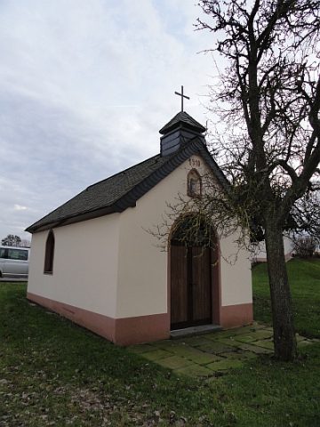
Kapelle
Field Names
In der Perg
Mills
Kaisermühle am Linsenbach
Field Names
Im Hüttener Gründchen
Field Names
Im Hüttener Gründchen
 850 m
Wayside Shrines and Stations of the Cross
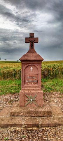
Wegekreuz
 870 m
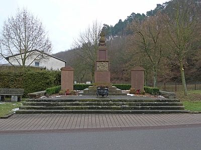
War Memorials