Field Names · Undated
In der Sauerwies


© GeoBasis-DE / LVermGeoRP, dl-de/by-2-0
There is no picture of this object yet. Do you have a photo that you would like to make available to the Kulturdatenbank? Submit a picture
Description
This description is only available in German.
Translate with Google opens this page in Google Translate (external service)
Sauer – Bedeutung: Den Namen liegt das Adjektiv sauer, althochdeutsch sûr ‚bitter‘, mittelhochdeutsch sûr ‚sauer, herb, scharf, bitter‘ zu Grunde. Sie verweisen in der Regel auf die geringe Bodenqualität; so sind Sauerwiesen meist Wiesen in feuchtem oder nassem Gelände, auf dem nur Sauergräser gedeihen. [1]
Classification
- Subject area
- History
- Category
- Field Names
- Date
- Undatiert
- Period
- Undated
Location
- District
- Trier-Saarburg
- Collective municipality
- Konz
- Municipality
- Wasserliesch
- Field name
- In der Sauerwies
- Coordinates
- WGS 84: 49.690151, 6.556599 (Position: exact) WGS 84: 49° 41′ 24.5″ N, 6° 33′ 23.8″ E UTM 32 (ETRS89): E 323774 · N 5507047
Sources
Data sources
- [1] Hessisches Landesamt für geschichtliche Landeskunde http://www.hlgl.de
On the internet
Last edited: 21 Apr 2014 Object ID: 34472
https://kulturdb.de/en/objekt/34472-wasserliesch-in-der-sauerwies
Nearby
The nearest objects
 80 m
Field Names
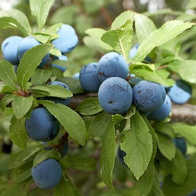
In den langen Schleen
90 m
Field Names
Im langen Schleen
 550 m
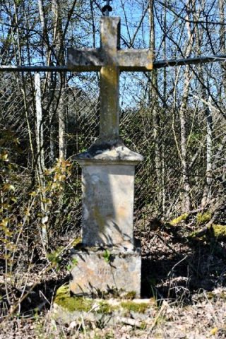
Wayside Shrines and Stations of the Cross
Wiesenkreuz
Field Names
Unter dem Maarbach
Field Names
In den viertel Stücker
Field Names
Beim Maarborn
Vineyard Sites
Reinig auf der Burg
Field Names