Ferries · Historicism / Art Nouveau
Ehemalige Fähre Rachtig - Machern


© GeoBasis-DE / LVermGeoRP, dl-de/by-2-0
There is no picture of this object yet. Do you have a photo that you would like to make available to the Kulturdatenbank? Submit a picture
Classification
- Subject area
- Architectural and Art Monuments
- Category
- Economy, Trade and Transport
- Object type
- Ferries
- Date
- 1885
Location
- District
- Bernkastel-Wittlich
- Collective municipality
- Bernkastel-Kues
- Municipality
- Zeltingen-Rachtig
- Locality / location
- Rachtig
- Street
- Gestadestraße
- Field name
- [Mosel]
- Coordinates
- WGS 84: 49.961870, 6.998720 (Position: exact) WGS 84: 49° 57′ 42.7″ N, 6° 59′ 55.4″ E UTM 32 (ETRS89): E 356466 · N 5536311
Sources
Data sources
- [1] Kartenaufnahme der Rheinlande durch Tranchot und von Müffling (1803-1820).
On the internet
Last edited: 30 Dec 2016 Object ID: 34597
https://kulturdb.de/en/objekt/34597-zeltingen-rachtig-ehemalige-faehre-rachtig-machern
Nearby
The nearest objects
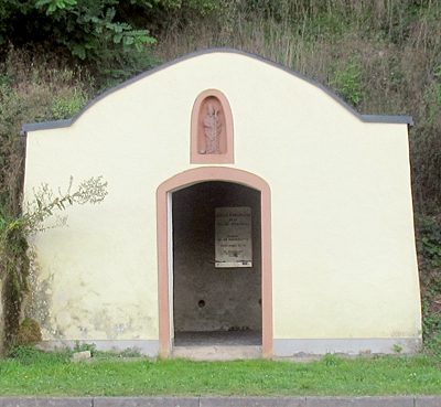 140 m
Chapels
Altes Fährhaus zum Hl. St. Nikolaus
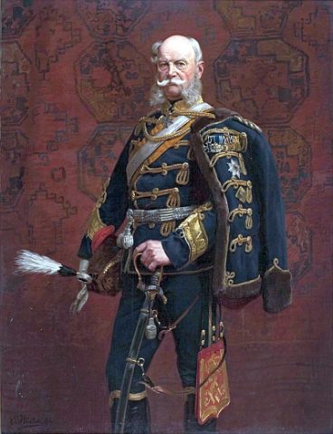 140 m
Commemorative Plantings
Kaisergarten
No picture
160 m
Wayside Shrines and Stations of the Cross
Gedenkkreuz
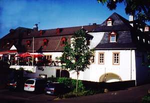 190 m
Farmhouses and Farm Buildings
Deutschherrenhof
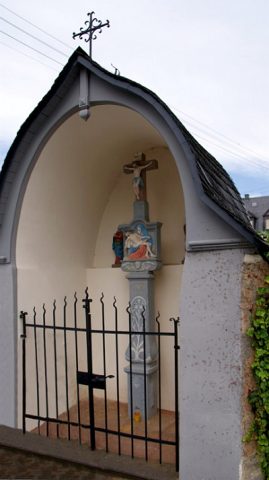 200 m
Chapels
Kapelle am Pfarrhof
No picture
210 m
Railways
Moseltalbahn - Ehemaliger Haltepunkt
 210 m
Farmhouses and Farm Buildings
Wohnhaus
 220 m
Farmhouses and Farm Buildings