Field Names · Undated
Unter den Werkstücker


© GeoBasis-DE / LVermGeoRP, dl-de/by-2-0
There is no picture of this object yet. Do you have a photo that you would like to make available to the Kulturdatenbank? Submit a picture
Description
This description is only available in German.
Translate with Google opens this page in Google Translate (external service)
Classification
- Subject area
- History
- Category
- Field Names
- Date
- Undatiert
- Period
- Undated
Location
- District
- Trier-Saarburg
- Collective municipality
- Ruwer
- Municipality
- Schöndorf
- Street
- Am Hügel
- Field name
- Unter den Werkstücker
- Coordinates
- WGS 84: 49.677454, 6.740084 (Position: exact) WGS 84: 49° 40′ 38.8″ N, 6° 44′ 24.3″ E UTM 32 (ETRS89): E 336964 · N 5505222
Sources
Data sources
- [1] Homepage der Ortsgemeinde Schoden
- http://www.schoden.vghosting.de/index.php?option=com_content&view=a…
- [2] Rheinisches Wörterbuch http://woerterbuchnetz.de/RhWB/?sigle=RhWB&mode=Vernetzung&hitlist=…
On the internet
Last edited: 26 May 2014 Object ID: 34761
https://kulturdb.de/en/objekt/34761-schoendorf-unter-den-werkstuecker
Nearby
The nearest objects
Field Names
Kloppheck
Field Names
Spingel auf Kloppheck
 160 m
Oaks
Eiche
 180 m
Coats of Arms
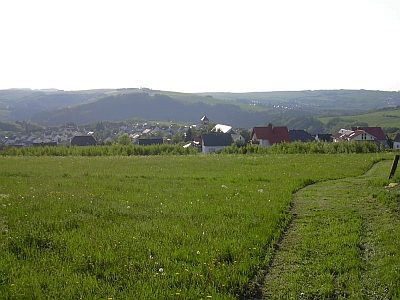
Wappen der Gemeinde Schöndorf
 200 m
Monuments
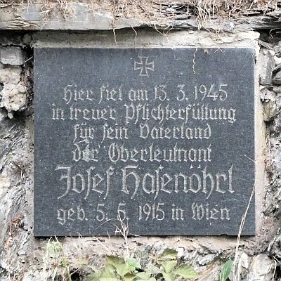
Gedenktafel für Josef Hasenöhrl
 210 m
Place Names / Local History
Erste Erwähnung von Schöndorf
Field Names
Kloppheck
Field Names